
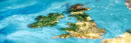
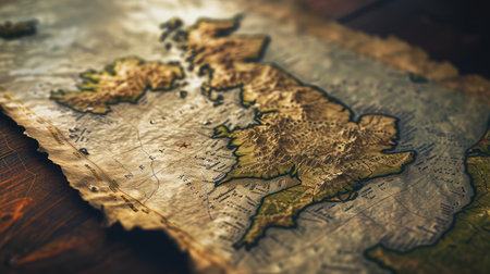
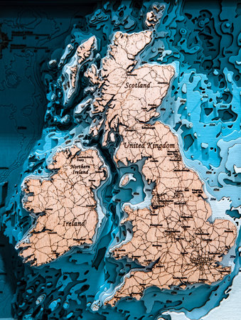
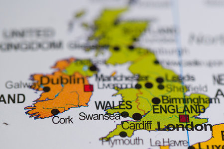
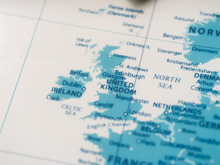
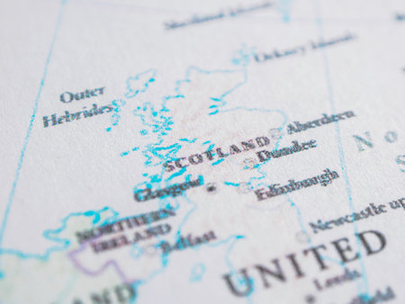
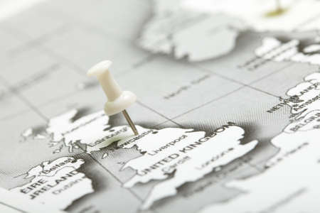
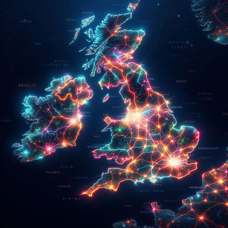
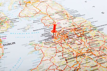
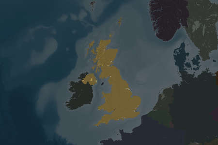
United Kingdom and Ireland.
Коллекция по умолчанию
Коллекция по умолчанию
Создать новую

Western Europe. Great Britain, France. Coronavirus COVID-19 global cases Map. Red Dot showing the number of infected. Johns Hopkins University map on monitor display.
Коллекция по умолчанию
Коллекция по умолчанию
Создать новую

map of united kingdom #2
Коллекция по умолчанию
Коллекция по умолчанию
Создать новую
the national union jack flag of great britian ,blue and red on world map,travel concept
Коллекция по умолчанию
Коллекция по умолчанию
Создать новую
Map of Europe. 3d illustration. Christmas and New Year concept.ai generated
Коллекция по умолчанию
Коллекция по умолчанию
Создать новую
Focus to Great Britain and Ireland on a colorful world globe with copy space over the ocean in a travel or educational concept
Коллекция по умолчанию
Коллекция по умолчанию
Создать новую
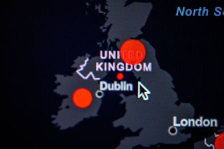
Great Britain, Ireland, United Kingdom. Coronavirus COVID-19 global cases Map. Red Dot showing the number of infected. Johns Hopkins University map on monitor display.
Коллекция по умолчанию
Коллекция по умолчанию
Создать новую
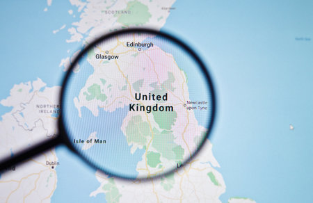
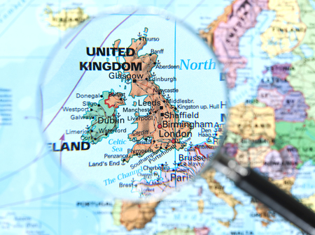
UKRAINE, ODESSA - APRIL 25, 2019: United Kingdom on google maps through magnifying glass
Коллекция по умолчанию
Коллекция по умолчанию
Создать новую

Searching map with magnifier
Коллекция по умолчанию
Коллекция по умолчанию
Создать новую
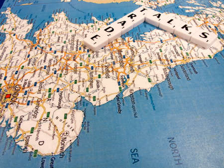
representation of trade talks, international dialogue between nation states to determine trade agreements
Коллекция по умолчанию
Коллекция по умолчанию
Создать новую
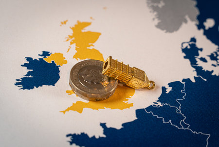
United Kingdom pound coin facing economic crisis
Коллекция по умолчанию
Коллекция по умолчанию
Создать новую
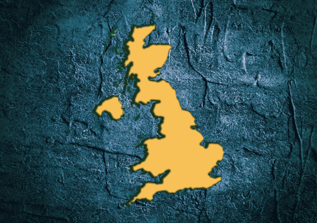
Image relative to Great Britain travel. United Kingdom state map in concrete textured frame
Коллекция по умолчанию
Коллекция по умолчанию
Создать новую
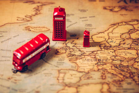
The iconic red bus and Big Ben miniature with compass on the map of London, UK. Concept of travel.
Коллекция по умолчанию
Коллекция по умолчанию
Создать новую
Magnifying glass on a map of the world. Selective focus.
Коллекция по умолчанию
Коллекция по умолчанию
Создать новую
A Vintage Cartographic
Коллекция по умолчанию
Коллекция по умолчанию
Создать новую
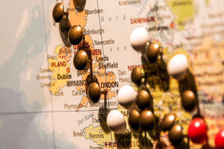
Picture of World Map Travel concept with many pushpins colored pins focus on england
Коллекция по умолчанию
Коллекция по умолчанию
Создать новую
Wooden outline map of the UK and Ireland on the wall. Plywood mainlands, laser cut.
Коллекция по умолчанию
Коллекция по умолчанию
Создать новую
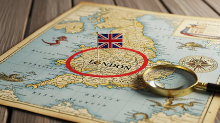
Vintage map with the flag of United Kingdom and magnifying glass
Коллекция по умолчанию
Коллекция по умолчанию
Создать новую

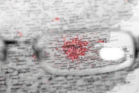
close up London on map.
Коллекция по умолчанию
Коллекция по умолчанию
Создать новую
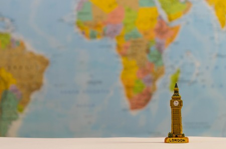
Big ben, a world famous destination.
Коллекция по умолчанию
Коллекция по умолчанию
Создать новую
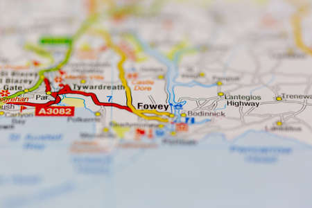
03-22-2021 Portsmouth, Hampshire, UK Fowey Shown on a Geography map or road map
Коллекция по умолчанию
Коллекция по умолчанию
Создать новую
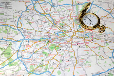
London city road map area. Closeup macro view
Коллекция по умолчанию
Коллекция по умолчанию
Создать новую
Destination London
Коллекция по умолчанию
Коллекция по умолчанию
Создать новую
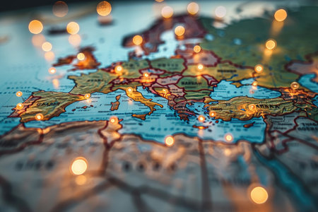
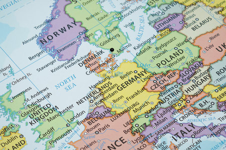
Close-Up of a Map of Europe with Warm Lights
Коллекция по умолчанию
Коллекция по умолчанию
Создать новую
map political cartography colors close-up borders country location bokeh muasto print geography contour world
Коллекция по умолчанию
Коллекция по умолчанию
Создать новую
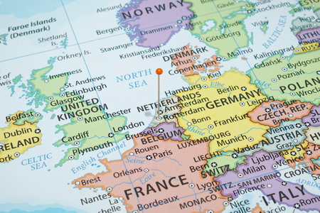
Close up to a Malmo city with a yellow pin needle into a political map
Коллекция по умолчанию
Коллекция по умолчанию
Создать новую
Exploring the united kingdom travel insights history and geography overview
Коллекция по умолчанию
Коллекция по умолчанию
Создать новую
02-18-2021 Portsmouth, Hampshire, UK the welsh and england border and surrounding areas shown on a road map or geography map
Коллекция по умолчанию
Коллекция по умолчанию
Создать новую
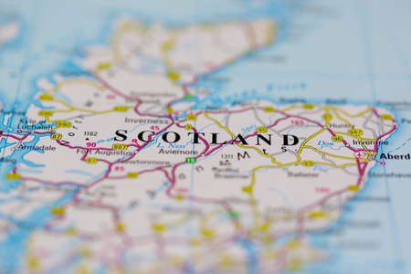
SCOTLAND country on the world map, close-up.
Коллекция по умолчанию
Коллекция по умолчанию
Создать новую
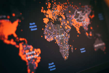
COVID-19 hotspot world map according to Johns Hopkins University COVID-19 Dashboard.
Коллекция по умолчанию
Коллекция по умолчанию
Создать новую
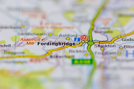
03-22-2021 Portsmouth, Hampshire, UK Fordingbridge Shown on a Geography map or road map
Коллекция по умолчанию
Коллекция по умолчанию
Создать новую
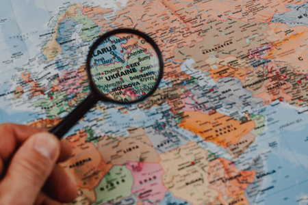
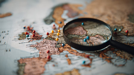
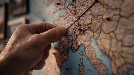
A hand holds a magnifying glass over a detailed map highlighting various countries, focusing on Ukraine, Moldova, and surrounding regions.
Коллекция по умолчанию
Коллекция по умолчанию
Создать новую
02-26-2021 Portsmouth, Hampshire UK Scotland shown on a Road map or a geography map
Коллекция по умолчанию
Коллекция по умолчанию
Создать новую

Geographical map location of United Kingdom England Wales Scotland Ireland in Europe continent on atlas
Коллекция по умолчанию
Коллекция по умолчанию
Создать новую
Map of The United Kingdom
with red push pin shows London City as a business target concept.
Коллекция по умолчанию
Коллекция по умолчанию
Создать новую
England and ENglish CHannel vintage 1920s map (printed in 1926 - copyrights expired) with a red pushpin on London, selective focus
Коллекция по умолчанию
Коллекция по умолчанию
Создать новую
destination searching through eye glass with frame
Коллекция по умолчанию
Коллекция по умолчанию
Создать новую

Armed conflict between Russia and Baltics on the map of Europe.
Коллекция по умолчанию
Коллекция по умолчанию
Создать новую
exact watch and geographical map as element choice directions journey
Коллекция по умолчанию
Коллекция по умолчанию
Создать новую
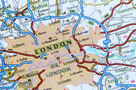
03-01-2021 Portsmouth, Hampshire, UK London Shown on a road map or Geography map and atlas
Коллекция по умолчанию
Коллекция по умолчанию
Создать новую
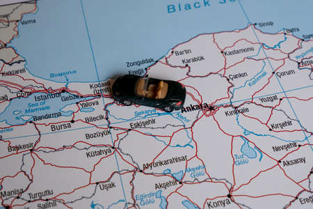
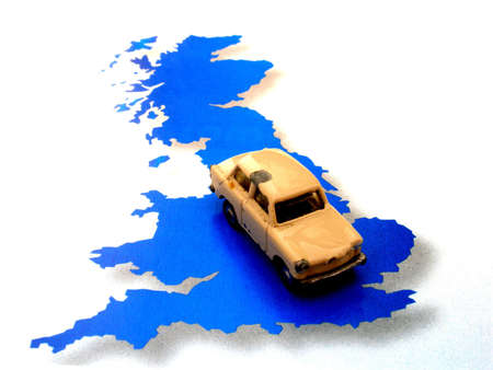
A miniature car on a map.
Коллекция по умолчанию
Коллекция по умолчанию
Создать новую
map route marked
Коллекция по умолчанию
Коллекция по умолчанию
Создать новую

Macro of Poland on a globe, narrow depth of field
Коллекция по умолчанию
Коллекция по умолчанию
Создать новую
A map of the UK and a boat representing the immigration
Коллекция по умолчанию
Коллекция по умолчанию
Создать новую
great britain
Коллекция по умолчанию
Коллекция по умолчанию
Создать новую
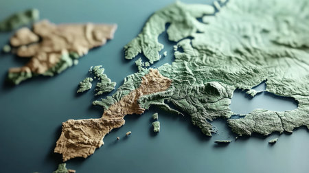
This detailed topographic map showcases the stunning relief of the Scandinavia region, highlighting islands and landscapes in an artistic manner.
Коллекция по умолчанию
Коллекция по умолчанию
Создать новую
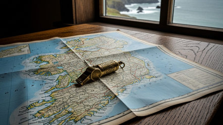
Old map with a whistle on the background of the sea and a window
Коллекция по умолчанию
Коллекция по умолчанию
Создать новую
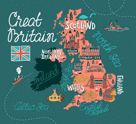
Tourist illustrated map of the Great Britain and Ireland. Travel and attractions of the United Kingdom
Коллекция по умолчанию
Коллекция по умолчанию
Создать новую
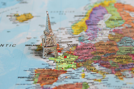
Small metallic Eiffel Tower on map marking France, symbolizing Paris travel, European holidays, and vacation planning ideas.
Коллекция по умолчанию
Коллекция по умолчанию
Создать новую

Image of world map and data processing over london cityscape. Global business, finances, computing and data processing concept digitally generated image.
Коллекция по умолчанию
Коллекция по умолчанию
Создать новую
Brexit conceptual Map after Uk separation from Europe.
Коллекция по умолчанию
Коллекция по умолчанию
Создать новую

map route marked
Коллекция по умолчанию
Коллекция по умолчанию
Создать новую
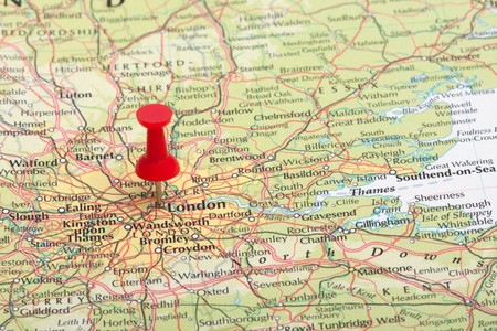
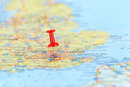
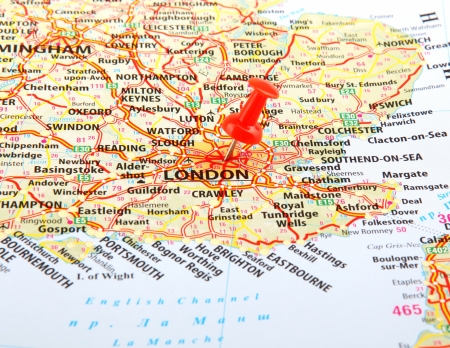
A red map pin pointing at London, England.
Коллекция по умолчанию
Коллекция по умолчанию
Создать новую
Neon map of Europe with glowing lines and particles. 3D rendering
Коллекция по умолчанию
Коллекция по умолчанию
Создать новую
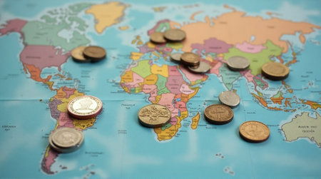
Coins scattered across a world map symbolizing global finance and international trade opportunities
Коллекция по умолчанию
Коллекция по умолчанию
Создать новую

symbol of a worker taking his bags and leaving UK after Brexit,conceptual Map after Uk separation from Europe
Коллекция по умолчанию
Коллекция по умолчанию
Создать новую
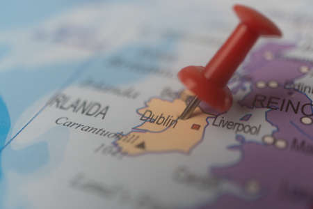
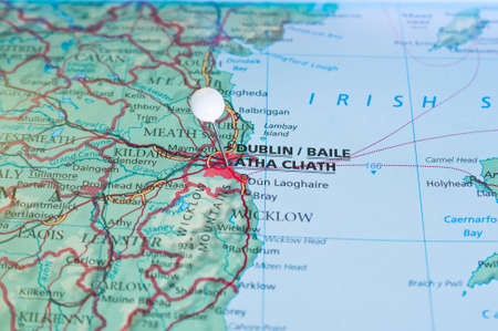
ireland,dublin marked on the map with a red pin, travel destination, planning. out of focus background
Коллекция по умолчанию
Коллекция по умолчанию
Создать новую
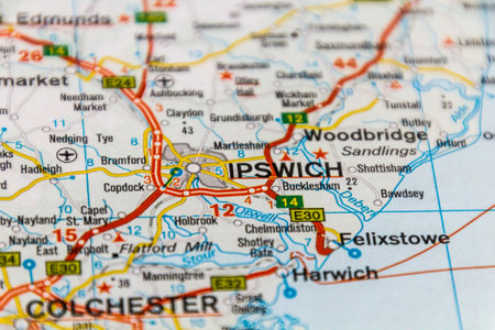
Ipswich, UK on a road map.
Коллекция по умолчанию
Коллекция по умолчанию
Создать новую
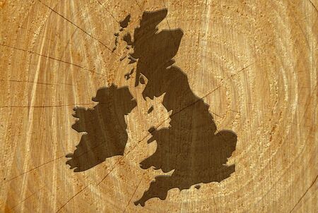
UK map on freshly cut tree showing wood texture
Коллекция по умолчанию
Коллекция по умолчанию
Создать новую
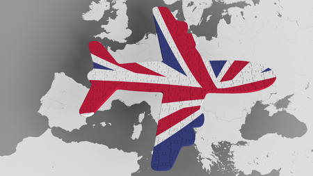
Airplane puzzle featuring flag of Great Britain against the world map. UK tourism conceptual 3D rendering
Коллекция по умолчанию
Коллекция по умолчанию
Создать новую

London, England is the center of focus on an old map.
Коллекция по умолчанию
Коллекция по умолчанию
Создать новую
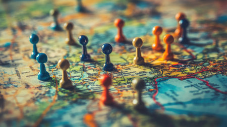
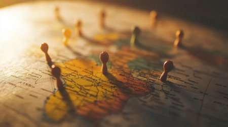
Vibrant game pieces scattered on a detailed map of Europe, illustrating the concepts of travel, exploration, and strategy in an engaging and colorful manner.
Коллекция по умолчанию
Коллекция по умолчанию
Создать новую

Close-up view of the roads on the map and the territories of Northern Greenland, photo taken in Italy, January 2020
Коллекция по умолчанию
Коллекция по умолчанию
Создать новую
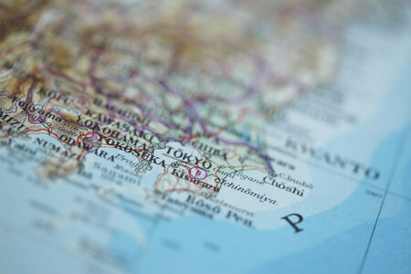
Close up shot of the Japanese map.
Коллекция по умолчанию
Коллекция по умолчанию
Создать новую

World map made with euro coins Conceptual of traveling, new normality and tourism, traveling after Covid-19
Коллекция по умолчанию
Коллекция по умолчанию
Создать новую

Pen and a map with filter effect retro vintage style
Коллекция по умолчанию
Коллекция по умолчанию
Создать новую
Pin on map with Dublin city close up
Коллекция по умолчанию
Коллекция по умолчанию
Создать новую
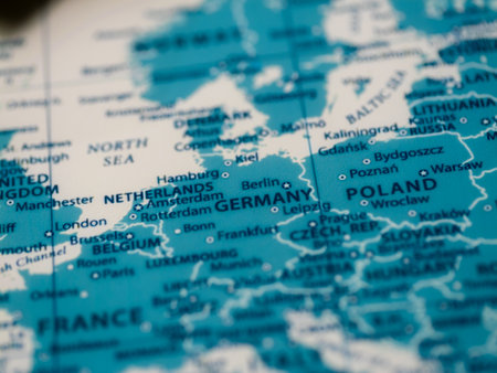
Germany map overview educational insights into european geography and travel experience
Коллекция по умолчанию
Коллекция по умолчанию
Создать новую
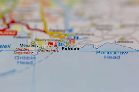
03-22-2021 Portsmouth, Hampshire, UK Polruan Shown on a Geography map or road map
Коллекция по умолчанию
Коллекция по умолчанию
Создать новую
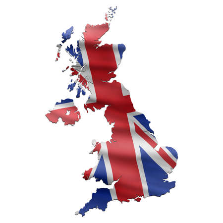
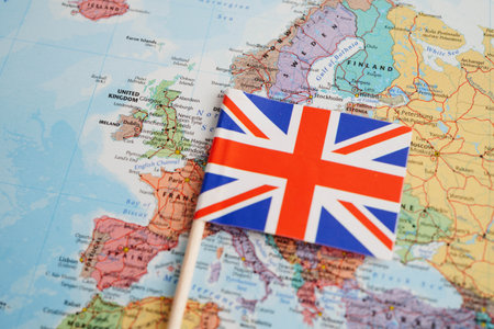
UK Map with British Flag
Коллекция по умолчанию
Коллекция по умолчанию
Создать новую

Bangkok, Thailand - May 15, 2022 World map paper, closeup view.
Коллекция по умолчанию
Коллекция по умолчанию
Создать новую
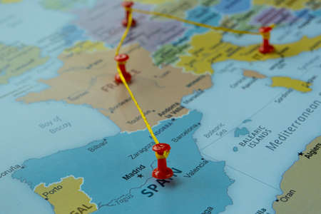
Map of Spain marked with red pushpins. Close-up.
Коллекция по умолчанию
Коллекция по умолчанию
Создать новую

close up of Oxford city on map, of England.
Коллекция по умолчанию
Коллекция по умолчанию
Создать новую
Close-up of colorful pushpins on a vintage world map, symbolizing travel planning and exploration. Shadows add depth to the geographic details.
Коллекция по умолчанию
Коллекция по умолчанию
Создать новую
road map
Коллекция по умолчанию
Коллекция по умолчанию
Создать новую
Close up to a Hamburg city with a black pin needle into Germany country political map
Коллекция по умолчанию
Коллекция по умолчанию
Создать новую
Close up to a Rotterdam city with an orange pin needle into Netherlands country political map
Коллекция по умолчанию
Коллекция по умолчанию
Создать новую

Illustrated map of the Great Britain. Travel and attractions
Коллекция по умолчанию
Коллекция по умолчанию
Создать новую
Shape of United Kingdom separated by the desaturation of neighboring areas. Colored elevation map. 3D rendering
Коллекция по умолчанию
Коллекция по умолчанию
Создать новую
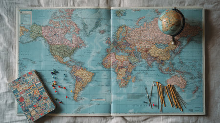
A beautiful flat lay of a world map featuring a globe and travel essentials like pins and a notebook, perfect for inspiring adventures.
Коллекция по умолчанию
Коллекция по умолчанию
Создать новую
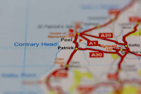
03-22-2021 Portsmouth, Hampshire, UK Patrick Shown on a Geography map or road map
Коллекция по умолчанию
Коллекция по умолчанию
Создать новую
Tourist map for travelling. Travel background.
Коллекция по умолчанию
Коллекция по умолчанию
Создать новую
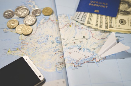
The plane, smartphone, biometric passport, dollars, coins and credit cards lie on a map of Iceland
Коллекция по умолчанию
Коллекция по умолчанию
Создать новую
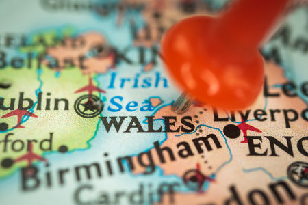
Location Wales, park United Kingdom, push pin on map closeup, marker of destination for travel, tourism and trip concept, Europe
Коллекция по умолчанию
Коллекция по умолчанию
Создать новую

Map of the world made of cork stuck on the wall of the room. with masks hanging by continent programming the next destination at the end of the post-covid pandemic
Коллекция по умолчанию
Коллекция по умолчанию
Создать новую
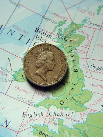
British one pound coin on map of Great Britain
Коллекция по умолчанию
Коллекция по умолчанию
Создать новую

travel background with flashlight. High quality photo
Коллекция по умолчанию
Коллекция по умолчанию
Создать новую
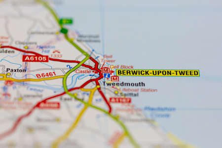
02-19-2021 Portsmouth, Hampshire, UK Berwick upon tweed and surrounding areas shown on a road map or Geography map
Коллекция по умолчанию
Коллекция по умолчанию
Создать новую

Close-up of a world map with textured paper background, country borders in soft focus
Коллекция по умолчанию
Коллекция по умолчанию
Создать новую
road map
Коллекция по умолчанию
Коллекция по умолчанию
Создать новую

Selective focus of Miniature figurine of lonely young traveler walking on big map with red pin
Коллекция по умолчанию
Коллекция по умолчанию
Создать новую
Finger pointing on travel map for route planning trip
Коллекция по умолчанию
Коллекция по умолчанию
Создать новую
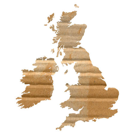
UK and Ireland map with corrugated cardboard background
Коллекция по умолчанию
Коллекция по умолчанию
Создать новую
Bangkok, Thailand December 10, 2023 British map in world map paper.
Коллекция по умолчанию
Коллекция по умолчанию
Создать новую
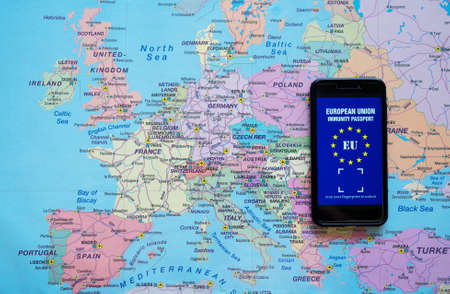
Phone with European Immunity passport app. Travel during Covid-19 concept.
Коллекция по умолчанию
Коллекция по умолчанию
Создать новую
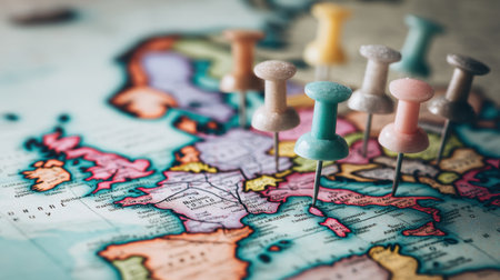
A collection of colorful pushpins placed on a detailed vintage world map, highlighting various locations in Europe for travel inspiration.
Коллекция по умолчанию
Коллекция по умолчанию
Создать новую
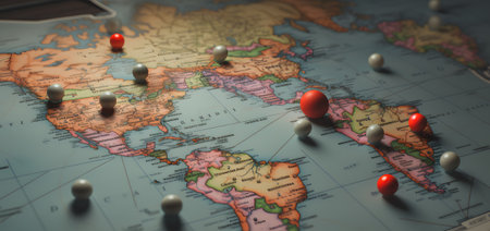
Map of the world with red pins on it. Selective focus
Коллекция по умолчанию
Коллекция по умолчанию
Создать новую

Blue Map Pin on Paper Map Showing Hamford Water
Коллекция по умолчанию
Коллекция по умолчанию
Создать новую
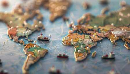
Navigating critical international trade paths and logistics in a complex supply chain network
Коллекция по умолчанию
Коллекция по умолчанию
Создать новую
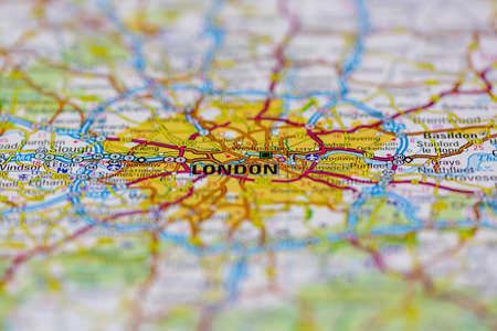
The city of London on a map
Коллекция по умолчанию
Коллекция по умолчанию
Создать новую
Legion-Media
Создайте свои проекты на основе качественных стоковых фотографий и видео.


Copyright © Legion-Media.