

January 20, 2018 San Francisco / CA / USA - Resist vote sign raised at the Women's March rally which took place in the Civic Center Plaza; the City Hall building can be seen in the background
Коллекция по умолчанию
Коллекция по умолчанию
Создать новую

Mesh vector map of Cyprus with glare effect. Light spots have bright spectrum colors. Abstract lines, triangles, light spots and points on a dark background with map of Cyprus.
Коллекция по умолчанию
Коллекция по умолчанию
Создать новую

Close-up 3D map of US cities, with blue lights on major hubs
Коллекция по умолчанию
Коллекция по умолчанию
Создать новую

Black gold map of the world. The concept of travel.
Коллекция по умолчанию
Коллекция по умолчанию
Создать новую

Digital USA Glowing Outline On Circuit Board, Showing Network, Connectivity, And Data
Коллекция по умолчанию
Коллекция по умолчанию
Создать новую

Map of Coronavirus (Covid-19), Close-up united states with Covid-19, Covid 19 usa map confirmed cases report worldwide globally
Коллекция по умолчанию
Коллекция по умолчанию
Создать новую

A mesmerizing view of the Soldiers' and Sailors' Monument in the city of Indianapolis, USA
Коллекция по умолчанию
Коллекция по умолчанию
Создать новую

PARIS, FRANCE - APR 24, 2017: French map electins result on newspaper cover - woman reading the French newspaper Le Monde a day after the first round of the French Presidential election on April 24, 2017
Коллекция по умолчанию
Коллекция по умолчанию
Создать новую

American State Kentucky on the map of the world.
Коллекция по умолчанию
Коллекция по умолчанию
Создать новую

Close up shot of the Japanese map.
Коллекция по умолчанию
Коллекция по умолчанию
Создать новую

Коллекция по умолчанию
Коллекция по умолчанию
Создать новую

Rear view of businessman walking in front of US Capitol at night
Коллекция по умолчанию
Коллекция по умолчанию
Создать новую

United States, East Coast Washington. Coronavirus COVID-19 global cases Map. Red Dot showing the number of infected. Johns Hopkins University map on monitor display.
Коллекция по умолчанию
Коллекция по умолчанию
Создать новую

Government Building in Digital Network, Parliament House, Canberra, Australia, Technology Concept
Коллекция по умолчанию
Коллекция по умолчанию
Создать новую

Mesh vector map of Cyprus Island with glare effect. Light spots have bright spectrum colors. Abstract lines, triangles, light spots and points on a dark background with map of Cyprus Island.
Коллекция по умолчанию
Коллекция по умолчанию
Создать новую

A close-up shot of American flags waving in the wind, with the iconic Capitol Building in the background.
Коллекция по умолчанию
Коллекция по умолчанию
Создать новую

Thumbs up icon with increasing likes against world map on blue background. social media networking and technology concept
Коллекция по умолчанию
Коллекция по умолчанию
Создать новую

Minorca network map. Abstract geometric map of the island. Digital connections and telecommunication design. Glowing internet network. Superb vector illustration.
Коллекция по умолчанию
Коллекция по умолчанию
Создать новую

A detailed map of the United States is illuminated, highlighting each state with a soft, glowing light. The map displays the geographical borders and major cities of the country. Generative AI
Коллекция по умолчанию
Коллекция по умолчанию
Создать новую

The Colorado State Capitol by night in Denver, United States
Коллекция по умолчанию
Коллекция по умолчанию
Создать новую

Capitol hill building at night illuminated with light, Washington DC.
Коллекция по умолчанию
Коллекция по умолчанию
Создать новую

The US Capitol at night with stars
Коллекция по умолчанию
Коллекция по умолчанию
Создать новую

October 7th, 2015 - Montreal, Canada. Old 1940s Webster's Dictionary United States of America Map Close-up
Коллекция по умолчанию
Коллекция по умолчанию
Создать новую

Boston on the map.
Коллекция по умолчанию
Коллекция по умолчанию
Создать новую

Shooting in Texas
Коллекция по умолчанию
Коллекция по умолчанию
Создать новую

Aerial shot of Santa Fe (New Mexico, USA) at night, view from south. Imitation of satellite view on modern city with street lights and glow effect. 3d render, high resolution
Коллекция по умолчанию
Коллекция по умолчанию
Создать новую

vintage textured us map with state borders, created with generative ai
Коллекция по умолчанию
Коллекция по умолчанию
Создать новую

Digital U.S Capitol Building on Blue Networked Background, Government Technology Concept
Коллекция по умолчанию
Коллекция по умолчанию
Создать новую

Beautiful capitol building in Washington DC on a clear early morning before sunrise
Коллекция по умолчанию
Коллекция по умолчанию
Создать новую

Scenery of night city lights
Коллекция по умолчанию
Коллекция по умолчанию
Создать новую

energy of fractal.
Коллекция по умолчанию
Коллекция по умолчанию
Создать новую

Map of the USA created from lines, bright points and polygons. Map of United States of America Vector illustartion
Коллекция по умолчанию
Коллекция по умолчанию
Создать новую

Abstract map of Russia with glowing particles, vector illustration
Коллекция по умолчанию
Коллекция по умолчанию
Создать новую

Коллекция по умолчанию
Коллекция по умолчанию
Создать новую

Vatican City Digitization Concept. The network of binary numbers in the background of St. Peter's Basilica.
Коллекция по умолчанию
Коллекция по умолчанию
Создать новую

Modern city skyline, Atlanta, Georgia, USA
Коллекция по умолчанию
Коллекция по умолчанию
Создать новую

Metallic map of USA
Коллекция по умолчанию
Коллекция по умолчанию
Создать новую

Digital Network Around U.S. Capitol Building Symbol of American Politics and Government
Коллекция по умолчанию
Коллекция по умолчанию
Создать новую

Front of the Capitol, Government building on a sunny day in the USA. High-quality photo
Коллекция по умолчанию
Коллекция по умолчанию
Создать новую

Man touching an intelligence concept on a touch screen with his finger
Коллекция по умолчанию
Коллекция по умолчанию
Создать новую
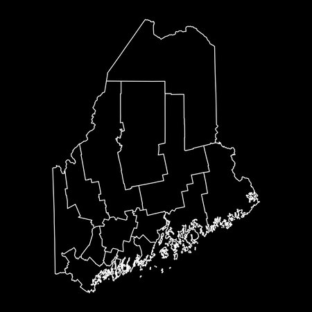
Maine state map with counties. vector illustration.
Коллекция по умолчанию
Коллекция по умолчанию
Создать новую

Iberia at night. 3D illustration with detailed planet surface and visible city lights.
Коллекция по умолчанию
Коллекция по умолчанию
Создать новую
Modern Illustration of business selection on blue abstract background.
Коллекция по умолчанию
Коллекция по умолчанию
Создать новую

Image of fingerprint bionic security system over blue landscape with diverse data. Global business and digital interface concept digitally generated image.
Коллекция по умолчанию
Коллекция по умолчанию
Создать новую

The famous US Capitol in Washington DC - WASHINGTON DC - COLUMBIA - APRIL 7, 2017
Коллекция по умолчанию
Коллекция по умолчанию
Создать новую
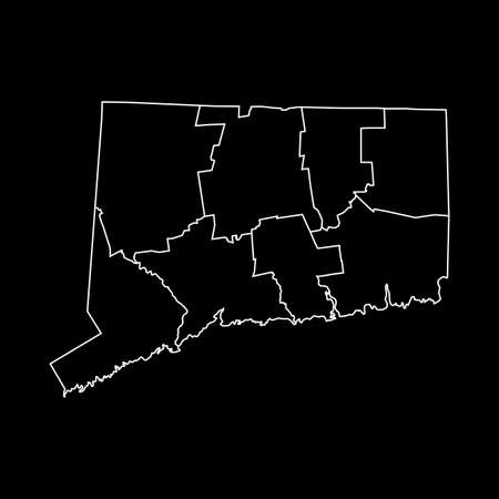
map of Connecticut
Коллекция по умолчанию
Коллекция по умолчанию
Создать новую

Toy tanks on the map. Military operations in Ukraine.
Коллекция по умолчанию
Коллекция по умолчанию
Создать новую
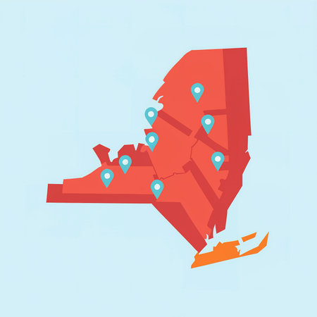
new york map usa coordinate pins communication and service delivery
Коллекция по умолчанию
Коллекция по умолчанию
Создать новую
Nightshot of the Washington State Capitol in Washington D.C.
Коллекция по умолчанию
Коллекция по умолчанию
Создать новую
vector illustration of map of North Carolina - U.S. state
Коллекция по умолчанию
Коллекция по умолчанию
Создать новую
american map eps8 vector art
Коллекция по умолчанию
Коллекция по умолчанию
Создать новую

Glowing Map of Vermont, modern blue outline map, on dark Background
Коллекция по умолчанию
Коллекция по умолчанию
Создать новую

3D USA map
Коллекция по умолчанию
Коллекция по умолчанию
Создать новую

Washington DC, US Capitol Building at sunset. USA.
Коллекция по умолчанию
Коллекция по умолчанию
Создать новую

Macro of Poland on a globe, narrow depth of field
Коллекция по умолчанию
Коллекция по умолчанию
Создать новую

Generative AI : Night view of Nordic Europe on Earth close up photo of world from space Norwegian and Barents Sea Norway Finland Sweden Moscow horizon selective focus Elements of t
Коллекция по умолчанию
Коллекция по умолчанию
Создать новую

This is a map of the United States, silhouetted in black against a yellowish orange background.
Коллекция по умолчанию
Коллекция по умолчанию
Создать новую
layered digital illustration of Mauritania map in gray gradient colors and white background
Коллекция по умолчанию
Коллекция по умолчанию
Создать новую

Red Earth Concept of Global Warming. Big data 3d Earth. Binary code surrounding globe rotating. Retro digital Earth. Digital data globe,abstract 3D rendering of data network surrounding planet earth.
Коллекция по умолчанию
Коллекция по умолчанию
Создать новую

The United States Capitol, the meeting place of the United States Congress, located on Capitol Hill at the eastern end of the National Mall in Washington, D.C.
Коллекция по умолчанию
Коллекция по умолчанию
Создать новую

The US Capitol building stands illuminated at night, surrounded by glowing network connections, symbolizing technology and innovation in governance.
Коллекция по умолчанию
Коллекция по умолчанию
Создать новую
Maryland network map. Abstract geometric map of the us state. Digital connections and telecommunication design. Glowing internet network. Vibrant vector illustration.
Коллекция по умолчанию
Коллекция по умолчанию
Создать новую
The Rhode Island State House in the capital of the U.S. state of Rhode Island Providence. USA
Коллекция по умолчанию
Коллекция по умолчанию
Создать новую

Facade of the Minnesota State Capitol Building in St Paul at night
Коллекция по умолчанию
Коллекция по умолчанию
Создать новую
Map of USA with highlighted New York map, gray map of US State New York with neighboring countries
Коллекция по умолчанию
Коллекция по умолчанию
Создать новую

Abstract map of Turkey with glowing particles
Коллекция по умолчанию
Коллекция по умолчанию
Создать новую

USA map state division, 3d illustration
Коллекция по умолчанию
Коллекция по умолчанию
Создать новую

WASHINGTON, USA - JUNE 13, 2013: People visit the US Capitol in Washington DC. 18.9 million tourists visited capital of the United States in 2012.
Коллекция по умолчанию
Коллекция по умолчанию
Создать новую

3D map showcasing mountains, valleys, and paths with vibrant details.
Коллекция по умолчанию
Коллекция по умолчанию
Создать новую

USA map with states vector illustration
Коллекция по умолчанию
Коллекция по умолчанию
Создать новую

United States, East Coast, New York, . Coronavirus COVID-19 global cases Map. Red Dot showing the number of infected. Johns Hopkins University map on monitor display.
Коллекция по умолчанию
Коллекция по умолчанию
Создать новую

Коллекция по умолчанию
Коллекция по умолчанию
Создать новую
Capitol building stands majestically at night, enhanced by vibrant blue digital effects and twinkling stars, showing the beauty of Washington DC in an imaginative setting.
Коллекция по умолчанию
Коллекция по умолчанию
Создать новую

Aerial view of Downtown Los Angeles at twilight
Коллекция по умолчанию
Коллекция по умолчанию
Создать новую

Коллекция по умолчанию
Коллекция по умолчанию
Создать новую

American map vector illustration on white background
Коллекция по умолчанию
Коллекция по умолчанию
Создать новую

A 3D rendering of a digital Germany map in hand with a blurry background
Коллекция по умолчанию
Коллекция по умолчанию
Создать новую

Flat lay traveler accessories on map, camera and cup of coffee. Top view travel or vacation concept
Коллекция по умолчанию
Коллекция по умолчанию
Создать новую

capitol building with milky way sky
Коллекция по умолчанию
Коллекция по умолчанию
Создать новую

City street road. City streets and blocks, route distance data, path turns and destination tag or mark. Huge city top view. Location tracks dashboard. Vector, illustration. Abstract transportation background.
Коллекция по умолчанию
Коллекция по умолчанию
Создать новую
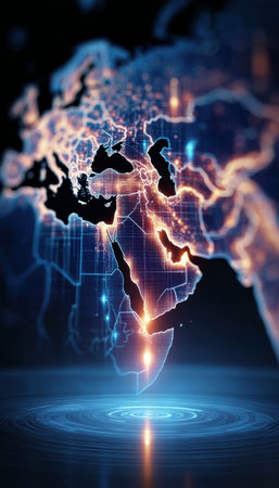
Comprehensive Geospatial Data Visualization of Continents Africa, Middle East, and Europe Insights
Коллекция по умолчанию
Коллекция по умолчанию
Создать новую

Image relative to USA travel. Alabama state map textured by lines and dots pattern
Коллекция по умолчанию
Коллекция по умолчанию
Создать новую

Map of USA in black color. Vector illustration.
Коллекция по умолчанию
Коллекция по умолчанию
Создать новую

Map of Mississippi, Polygonal mesh line map, flag map
Коллекция по умолчанию
Коллекция по умолчанию
Создать новую

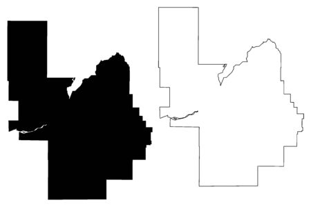
Three-dimensional map of Indiana. USA. 3d
Коллекция по умолчанию
Коллекция по умолчанию
Создать новую

Коллекция по умолчанию
Коллекция по умолчанию
Создать новую
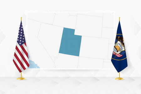
Map of Utah and flags of Utah on flag stand. Vector illustration for diplomacy meeting.
Коллекция по умолчанию
Коллекция по умолчанию
Создать новую

A vertical shot of the United States Capitol in Washington, DC, against the cloudy sky
Коллекция по умолчанию
Коллекция по умолчанию
Создать новую

US Capitol in Washington DC (District of Columbia), United States of America
Коллекция по умолчанию
Коллекция по умолчанию
Создать новую

Illuminated Panama Data Map Highlighting Geographical Features Neon Glow Light 3D Illustration
Коллекция по умолчанию
Коллекция по умолчанию
Создать новую

The illuminated California State Capitol Museum in Sacramento, California at night
Коллекция по умолчанию
Коллекция по умолчанию
Создать новую
Power County, Idaho (U.S. county, United States of America, USA, U.S., US) map vector illustration, scribble sketch Power map
Коллекция по умолчанию
Коллекция по умолчанию
Создать новую

Abstract futuristic map of world With Antarctica. Circuit Board Design Electric of the region. Technology background. mash line and point scales on dark with map.
Коллекция по умолчанию
Коллекция по умолчанию
Создать новую

Central embassy mall and Ploenchit views from above, in Bangkok Thailand
Коллекция по умолчанию
Коллекция по умолчанию
Создать новую

Panoramic view of the city of Warsaw in winter. Poland
Коллекция по умолчанию
Коллекция по умолчанию
Создать новую

use map showing international connections and data flow
Коллекция по умолчанию
Коллекция по умолчанию
Создать новую

Close-up fragment of a dark world map with selective focus on New York,Philadephia,Washington D.C.
Коллекция по умолчанию
Коллекция по умолчанию
Создать новую

View of the US Capitol Building through the leaves of trees against a blue sky in Washington, DC
Коллекция по умолчанию
Коллекция по умолчанию
Создать новую

Lincoln Memorial at night 8 MAR 2019
Коллекция по умолчанию
Коллекция по умолчанию
Создать новую

Three-dimensional map of Indiana. USA. 3d
Коллекция по умолчанию
Коллекция по умолчанию
Создать новую
Legion-Media
Создайте свои проекты на основе качественных стоковых фотографий и видео.


Copyright © Legion-Media.