Результат поиска по запросу: "mesopotamia20map"
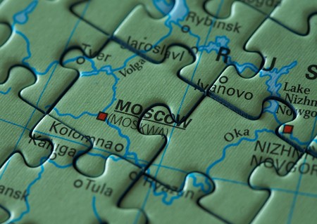
Puzzle map: Moscow and Russia macro
favorite
Коллекция по умолчанию
Коллекция по умолчанию
Создать новую
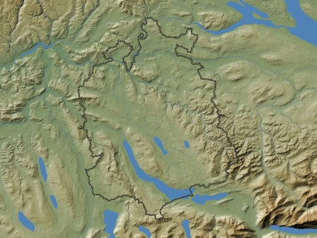
Zurich, canton of Switzerland. Colored elevation map with lakes and rivers
favorite
Коллекция по умолчанию
Коллекция по умолчанию
Создать новую
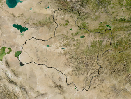
Dzavhan, province of Mongolia. Low resolution satellite maps
favorite
Коллекция по умолчанию
Коллекция по умолчанию
Создать новую

A map depicting a mountain range with a serene lake in the middle. This image can be used for travel brochures, adventure websites, or educational materials about geography and topography.
favorite
Коллекция по умолчанию
Коллекция по умолчанию
Создать новую

Rio Negro, province of Argentina. Low resolution satellite map. Corner auxiliary location maps
favorite
Коллекция по умолчанию
Коллекция по умолчанию
Создать новую
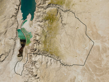
Karak, province of Jordan. Low resolution satellite maps
favorite
Коллекция по умолчанию
Коллекция по умолчанию
Создать новую
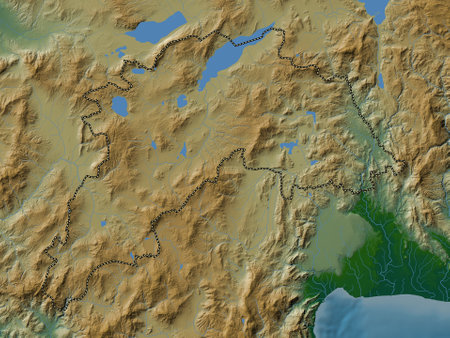
Burdur, province of Turkiye. Colored elevation map with lakes and rivers
favorite
Коллекция по умолчанию
Коллекция по умолчанию
Создать новую
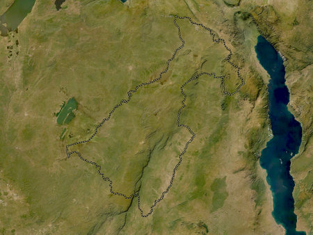
Muchinga, province of Zambia. Low resolution satellite maps
favorite
Коллекция по умолчанию
Коллекция по умолчанию
Создать новую
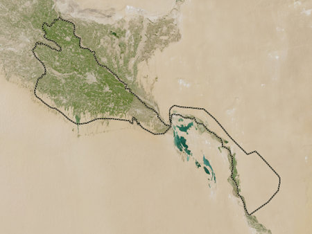
Khorezm, region of Uzbekistan. Low resolution satellite maps
favorite
Коллекция по умолчанию
Коллекция по умолчанию
Создать новую
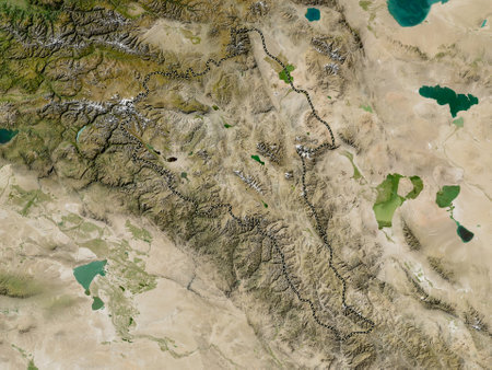
Bayan-Olgiy, province of Mongolia. Low resolution satellite maps
favorite
Коллекция по умолчанию
Коллекция по умолчанию
Создать новую
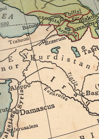
A vintage political map of Kurdistan and Syria.
favorite
Коллекция по умолчанию
Коллекция по умолчанию
Создать новую
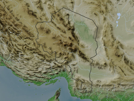
Kerman, province of Iran. Elevation map colored in wiki style with lakes and rivers
favorite
Коллекция по умолчанию
Коллекция по умолчанию
Создать новую
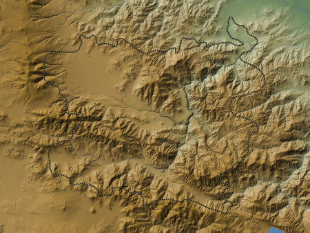
Lori, province of Armenia. Colored elevation map with lakes and rivers
favorite
Коллекция по умолчанию
Коллекция по умолчанию
Создать новую
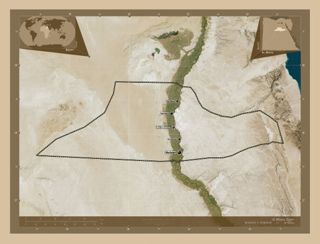
Al Minya, governorate of Egypt. Low resolution satellite map. Locations and names of major cities of the region. Corner auxiliary location maps
favorite
Коллекция по умолчанию
Коллекция по умолчанию
Создать новую
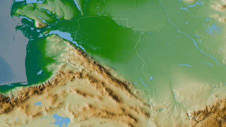
Ahal, province of Turkmenistan. Colored shader data with lakes and rivers. Shape outlined against its country area. 3D rendering
favorite
Коллекция по умолчанию
Коллекция по умолчанию
Создать новую
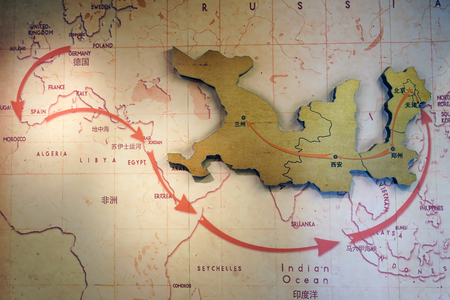
Route map of the Silk Road
favorite
Коллекция по умолчанию
Коллекция по умолчанию
Создать новую
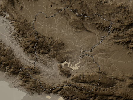
Centre, department of Haiti. Elevation map colored in sepia tones with lakes and rivers
favorite
Коллекция по умолчанию
Коллекция по умолчанию
Создать новую
a close up view of tire impressions left in the soft sand
favorite
Коллекция по умолчанию
Коллекция по умолчанию
Создать новую

Khuzestan, province of Iran. High resolution satellite maps
favorite
Коллекция по умолчанию
Коллекция по умолчанию
Создать новую
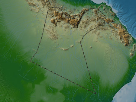
Ad Dakhliyah, region of Oman. Colored elevation map with lakes and rivers
favorite
Коллекция по умолчанию
Коллекция по умолчанию
Создать новую
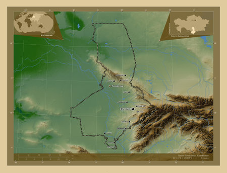
South Kazakhstan, region of Kazakhstan. Colored elevation map with lakes and rivers. Locations and names of major cities of the region. Corner auxiliary location maps
favorite
Коллекция по умолчанию
Коллекция по умолчанию
Создать новую
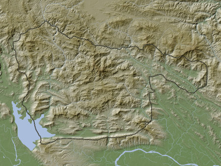
Xaisomboun, special region|zone of Laos. Elevation map colored in wiki style with lakes and rivers
favorite
Коллекция по умолчанию
Коллекция по умолчанию
Создать новую
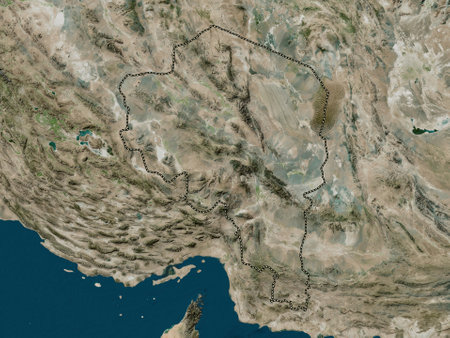
Kerman, province of Iran. High resolution satellite maps
favorite
Коллекция по умолчанию
Коллекция по умолчанию
Создать новую

Map of Eurasia. Detailed satellite view of the Earth and its landforms, focused on Europe and Asia. Elements of this image furnished by NASA
favorite
Коллекция по умолчанию
Коллекция по умолчанию
Создать новую
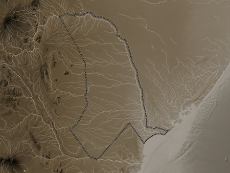
Tana River, county of Kenya. Elevation map colored in sepia tones with lakes and rivers
favorite
Коллекция по умолчанию
Коллекция по умолчанию
Создать новую
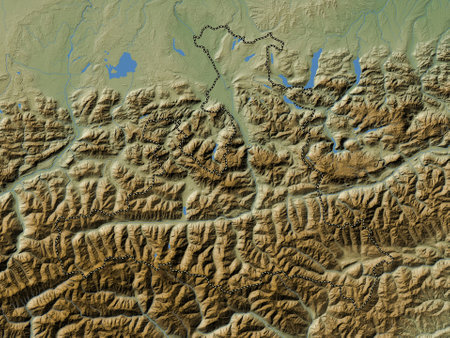
Salzburg, state of Austria. Colored elevation map with lakes and rivers
favorite
Коллекция по умолчанию
Коллекция по умолчанию
Создать новую
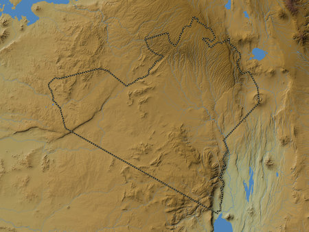
Narok, county of Kenya. Colored elevation map with lakes and rivers
favorite
Коллекция по умолчанию
Коллекция по умолчанию
Создать новую
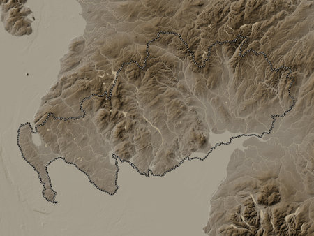
Dumfries and Galloway, region of Scotland - Great Britain. Elevation map colored in sepia tones with lakes and rivers
favorite
Коллекция по умолчанию
Коллекция по умолчанию
Создать новую

Berat, county of Albania. Elevation map colored in sepia tones with lakes and rivers
favorite
Коллекция по умолчанию
Коллекция по умолчанию
Создать новую
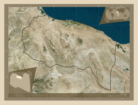
Surt, district of Libya. High resolution satellite map. Locations and names of major cities of the region. Corner auxiliary location maps
favorite
Коллекция по умолчанию
Коллекция по умолчанию
Создать новую
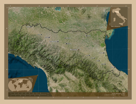
Emilia-Romagna, region of Italy. Low resolution satellite map. Locations and names of major cities of the region. Corner auxiliary location maps
favorite
Коллекция по умолчанию
Коллекция по умолчанию
Создать новую
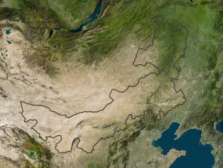
Nei Mongol, autonomous region of China. Low resolution satellite maps
favorite
Коллекция по умолчанию
Коллекция по умолчанию
Создать новую

Map of the Arabian Peninsula and countries in the Red Sea region.
favorite
Коллекция по умолчанию
Коллекция по умолчанию
Создать новую
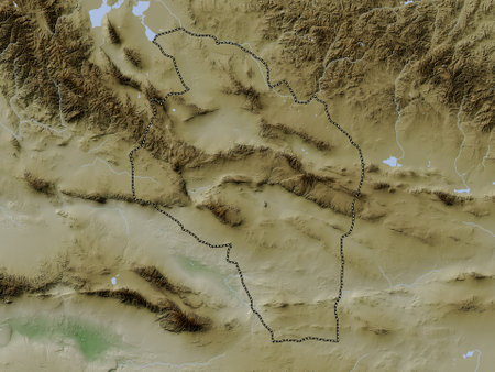
Govi-Altay, province of Mongolia. Elevation map colored in wiki style with lakes and rivers
favorite
Коллекция по умолчанию
Коллекция по умолчанию
Создать новую
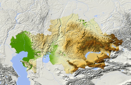
Kazakhstan, shaded relief map.
favorite
Коллекция по умолчанию
Коллекция по умолчанию
Создать новую
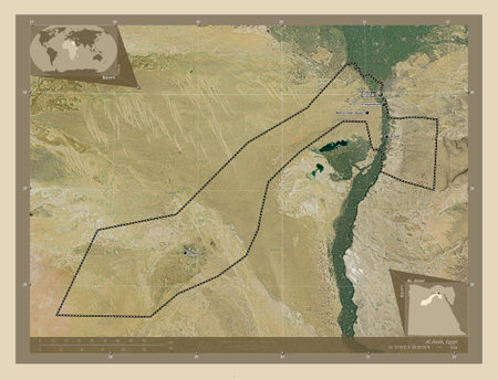
Al Jizah, governorate of Egypt. High resolution satellite map. Locations and names of major cities of the region. Corner auxiliary location maps
favorite
Коллекция по умолчанию
Коллекция по умолчанию
Создать новую
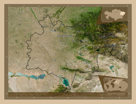
East Kazakhstan, region of Kazakhstan. Low resolution satellite map. Locations and names of major cities of the region. Corner auxiliary location maps
favorite
Коллекция по умолчанию
Коллекция по умолчанию
Создать новую
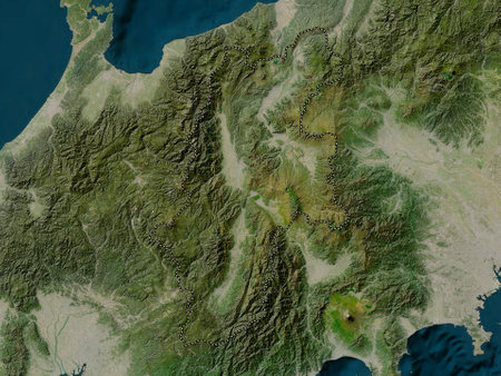
Nagano, prefecture of Japan. Low resolution satellite maps
favorite
Коллекция по умолчанию
Коллекция по умолчанию
Создать новую
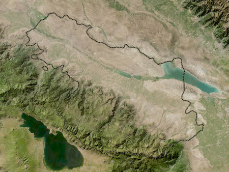
Ganja-Qazakh, region of Azerbaijan. Low resolution satellite map
favorite
Коллекция по умолчанию
Коллекция по умолчанию
Создать новую

Egypt. Shaded relief map Colored artificially according to elevation 3d illustration
favorite
Коллекция по умолчанию
Коллекция по умолчанию
Создать новую
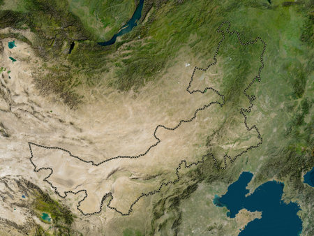
Nei Mongol, autonomous region of China. Low resolution satellite map
favorite
Коллекция по умолчанию
Коллекция по умолчанию
Создать новую
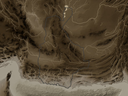
Sistan and Baluchestan, province of Iran. Elevation map colored in sepia tones with lakes and rivers
favorite
Коллекция по умолчанию
Коллекция по умолчанию
Создать новую
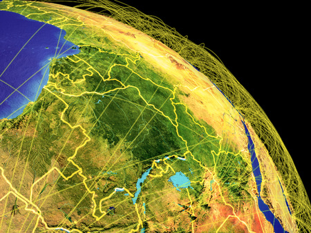
Central Africa from space with country borders and trajectories representing global communication, travel, connections. 3D illustration.
favorite
Коллекция по умолчанию
Коллекция по умолчанию
Создать новую
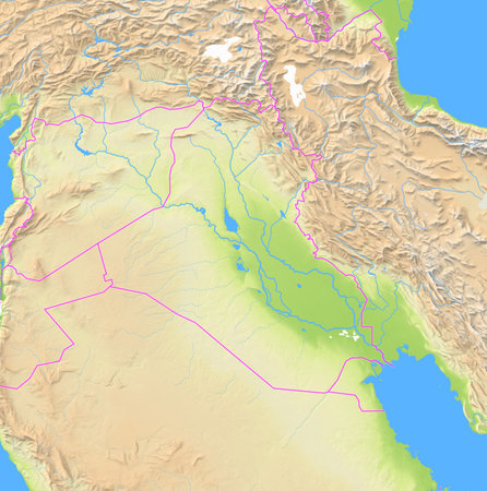
Map of Iraq and surrounding countries showing the region with relief representation, rivers, lakes and administrative boundaries. Silent map without any labels.
favorite
Коллекция по умолчанию
Коллекция по умолчанию
Создать новую

Ningxia Hui, autonomous region of China. Low resolution satellite map
favorite
Коллекция по умолчанию
Коллекция по умолчанию
Создать новую
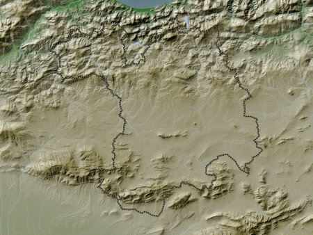
Setif, province of Algeria. Elevation map colored in wiki style with lakes and rivers
favorite
Коллекция по умолчанию
Коллекция по умолчанию
Создать новую
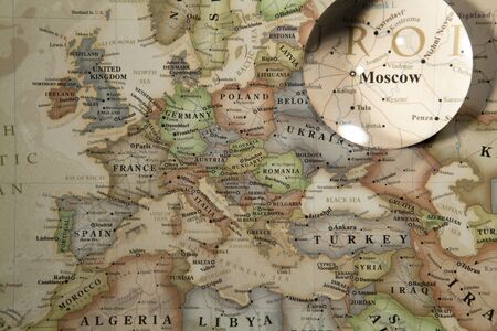
Glass Ball Placed On A World Map
favorite
Коллекция по умолчанию
Коллекция по умолчанию
Создать новую
Mountain. 3D illustration. 3D CG. High resolution.
favorite
Коллекция по умолчанию
Коллекция по умолчанию
Создать новую

Baghlan, province of Afghanistan. Colored elevation map with lakes and rivers
favorite
Коллекция по умолчанию
Коллекция по умолчанию
Создать новую

Kunene, region of Namibia. High resolution satellite maps
favorite
Коллекция по умолчанию
Коллекция по умолчанию
Создать новую
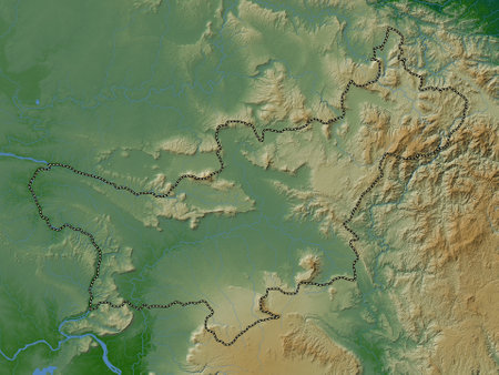
Saravan, province of Laos. Colored elevation map with lakes and rivers
favorite
Коллекция по умолчанию
Коллекция по умолчанию
Создать новую
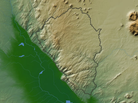
Thyolo, district of Malawi. Colored elevation map with lakes and rivers
favorite
Коллекция по умолчанию
Коллекция по умолчанию
Создать новую
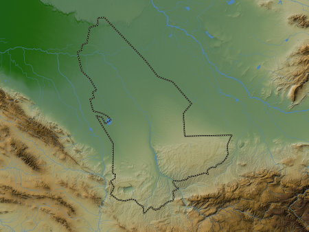
Mary, province of Turkmenistan. Colored elevation map with lakes and rivers
favorite
Коллекция по умолчанию
Коллекция по умолчанию
Создать новую
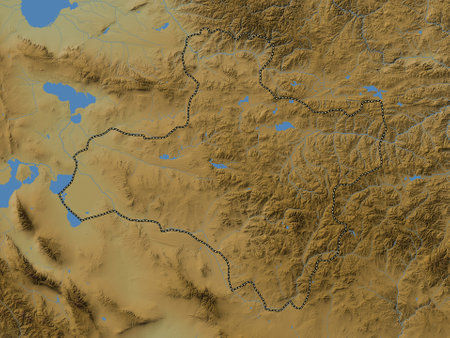
Dzavhan, province of Mongolia. Colored elevation map with lakes and rivers
favorite
Коллекция по умолчанию
Коллекция по умолчанию
Создать новую
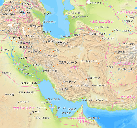
Map of Iran and surrounding countries with Japanese country names. Place names in Japanese are used depending on availability. Made with Natural Earth.
favorite
Коллекция по умолчанию
Коллекция по умолчанию
Создать новую
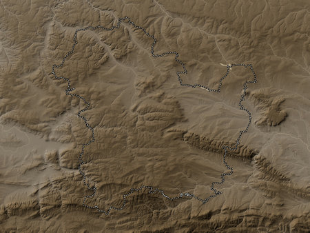
Targovishte, province of Bulgaria. Elevation map colored in sepia tones with lakes and rivers
favorite
Коллекция по умолчанию
Коллекция по умолчанию
Создать новую
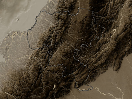
Cauca, department of Colombia. Elevation map colored in sepia tones with lakes and rivers
favorite
Коллекция по умолчанию
Коллекция по умолчанию
Создать новую
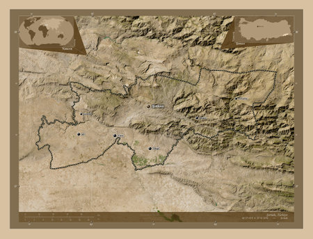
Srnak, province of Turkiye. Low resolution satellite maps. Locations and names of major cities of the region. Corner auxiliary location maps
favorite
Коллекция по умолчанию
Коллекция по умолчанию
Создать новую

Macro Globe Map Detail
favorite
Коллекция по умолчанию
Коллекция по умолчанию
Создать новую

Old maps
favorite
Коллекция по умолчанию
Коллекция по умолчанию
Создать новую
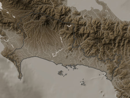
Chiriqui, province of Panama. Elevation map colored in sepia tones with lakes and rivers
favorite
Коллекция по умолчанию
Коллекция по умолчанию
Создать новую
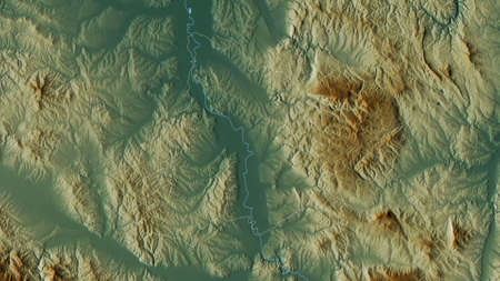
Pomoravski, district of Serbia. Colored relief with lakes and rivers. Shape outlined against its country area. 3D rendering
favorite
Коллекция по умолчанию
Коллекция по умолчанию
Создать новую

favorite
Коллекция по умолчанию
Коллекция по умолчанию
Создать новую
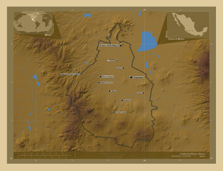
Ciudad de Mexico, city of Mexico. Colored elevation map with lakes and rivers. Locations and names of major cities of the region. Corner auxiliary location maps
favorite
Коллекция по умолчанию
Коллекция по умолчанию
Создать новую
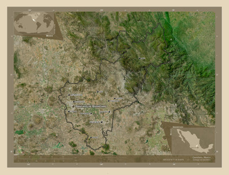
Queretaro, state of Mexico. High resolution satellite map. Locations and names of major cities of the region. Corner auxiliary location maps
favorite
Коллекция по умолчанию
Коллекция по умолчанию
Создать новую
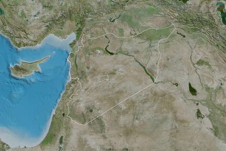
Extended area of outlined Syria. Satellite imagery. 3D rendering
favorite
Коллекция по умолчанию
Коллекция по умолчанию
Создать новую
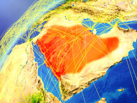
Saudi Arabia on model of planet Earth with international networks. Concept of digital communication and technology. 3D illustration.
favorite
Коллекция по умолчанию
Коллекция по умолчанию
Создать новую
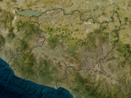
Michoacán, State of Mexico. Low resolution satellite maps
favorite
Коллекция по умолчанию
Коллекция по умолчанию
Создать новую
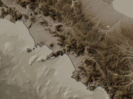
Campania, region of Italy. Elevation map colored in sepia tones with lakes and rivers
favorite
Коллекция по умолчанию
Коллекция по умолчанию
Создать новую
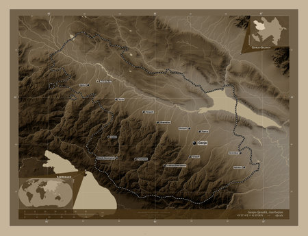
Ganja-Qazakh, region of Azerbaijan. Elevation map colored in sepia tones with lakes and rivers. Locations and names of major cities of the region. Corner auxiliary location maps
favorite
Коллекция по умолчанию
Коллекция по умолчанию
Создать новую
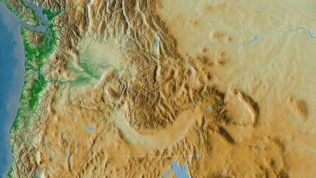
Idaho, state of United States. Colored shader data with lakes and rivers. Shape outlined against its country area. 3D rendering
favorite
Коллекция по умолчанию
Коллекция по умолчанию
Создать новую
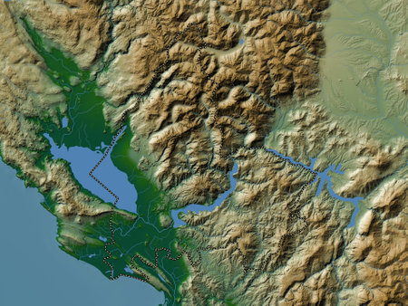
Shkoder, county of Albania. Colored elevation map with lakes and rivers
favorite
Коллекция по умолчанию
Коллекция по умолчанию
Создать новую

Western Cape, province of South Africa. Low resolution satellite maps
favorite
Коллекция по умолчанию
Коллекция по умолчанию
Создать новую
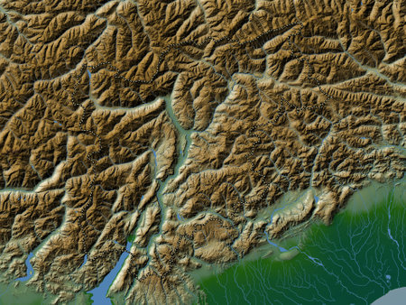
Trentino-Alto Adige, autonomous region of Italy. Colored elevation map with lakes and rivers
favorite
Коллекция по умолчанию
Коллекция по умолчанию
Создать новую
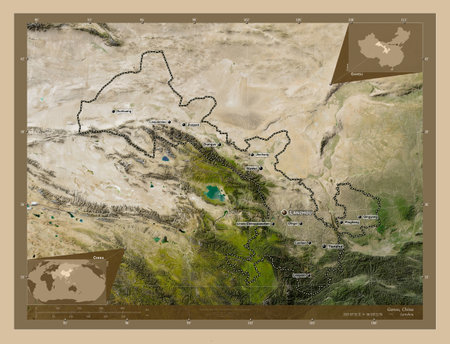
Gansu, province of China. Low resolution satellite map. Locations and names of major cities of the region. Corner auxiliary location maps
favorite
Коллекция по умолчанию
Коллекция по умолчанию
Создать новую
Mongolia on model of planet Earth with country borders. 3D illustration
favorite
Коллекция по умолчанию
Коллекция по умолчанию
Создать новую
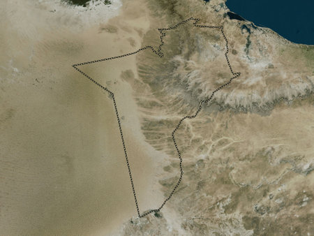
Tataouine, governorate of Tunisia. High resolution satellite maps
favorite
Коллекция по умолчанию
Коллекция по умолчанию
Создать новую
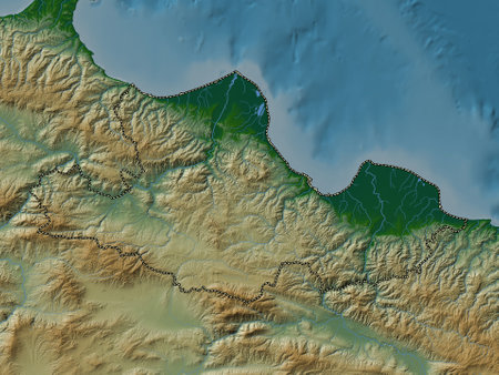
Samsun, province of Turkiye. Colored elevation map with lakes and rivers
favorite
Коллекция по умолчанию
Коллекция по умолчанию
Создать новую
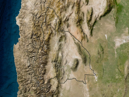
San Juan, province of Argentina. Low resolution satellite maps
favorite
Коллекция по умолчанию
Коллекция по умолчанию
Создать новую
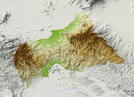
Central African Republic, shaded relief map. Surrounding territory greyed out. Colored according to elevation. Includes clip path for the state area.
Projection: Mercator
Extents: 13/28.5/1.2/12.5
Data source: NASA
favorite
Коллекция по умолчанию
Коллекция по умолчанию
Создать новую
Painting closeup texture background with red, gray, white, brown, orange colors for vivid colorful creative backgrounds. Oil on canvas. For interesting creative backgrounds.
favorite
Коллекция по умолчанию
Коллекция по умолчанию
Создать новую
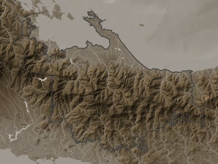
Ngobe Bugle, indigenous territory of Panama. Elevation map colored in sepia tones with lakes and rivers
favorite
Коллекция по умолчанию
Коллекция по умолчанию
Создать новую
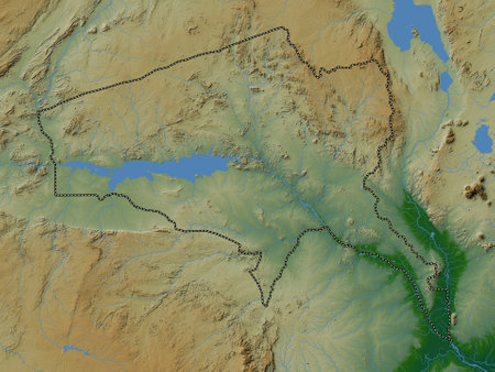
Tete, province of Mozambique. Colored elevation map with lakes and rivers
favorite
Коллекция по умолчанию
Коллекция по умолчанию
Создать новую
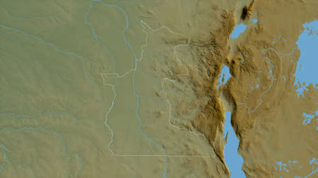
Maniema, province of Democratic Republic of the Congo. Colored shader data with lakes and rivers. Shape outlined against its country area. 3D rendering
favorite
Коллекция по умолчанию
Коллекция по умолчанию
Создать новую
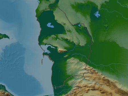
Balkan, province of Turkmenistan. Colored elevation map with lakes and rivers
favorite
Коллекция по умолчанию
Коллекция по умолчанию
Создать новую
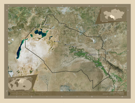
Qyzylorda, region of Kazakhstan. High resolution satellite map. Locations and names of major cities of the region. Corner auxiliary location maps
favorite
Коллекция по умолчанию
Коллекция по умолчанию
Создать новую
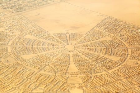
Aerial View of a Neighborhood in Abu Dhabi
favorite
Коллекция по умолчанию
Коллекция по умолчанию
Создать новую
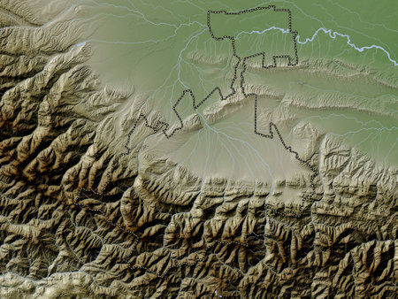
North Ossetia, republic of Russia. Elevation map colored in wiki style with lakes and rivers
favorite
Коллекция по умолчанию
Коллекция по умолчанию
Создать новую
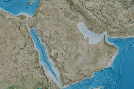
Extended area of Saudi Arabia. Satellite imagery. 3D rendering
favorite
Коллекция по умолчанию
Коллекция по умолчанию
Создать новую
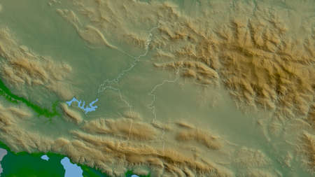
ElÃas Piña, province of Dominican Republic. Colored shader data with lakes and rivers. Shape outlined against its country area. 3D rendering
favorite
Коллекция по умолчанию
Коллекция по умолчанию
Создать новую
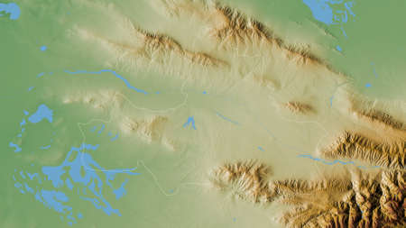
Samarkand, region of Uzbekistan. Colored shader data with lakes and rivers. Shape outlined against its country area. 3D rendering
favorite
Коллекция по умолчанию
Коллекция по умолчанию
Создать новую

Sinaloa, State of Mexico. Elevation map colored in sepia tones with lakes and rivers
favorite
Коллекция по умолчанию
Коллекция по умолчанию
Создать новую
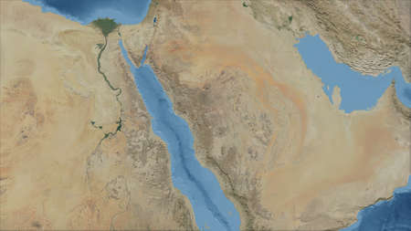
Saudi Arabia. Close-up perspective of the country - no outline. satellite imagery
favorite
Коллекция по умолчанию
Коллекция по умолчанию
Создать новую
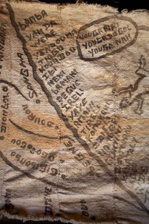
Map of Cliff of Bandiagara designed on piece of clothe in the Land of the Dogons - Mali
favorite
Коллекция по умолчанию
Коллекция по умолчанию
Создать новую
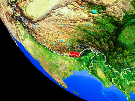
Bhutan on realistic model of planet Earth with country borders and very detailed planet surface. 3D illustration.
favorite
Коллекция по умолчанию
Коллекция по умолчанию
Создать новую

Hand holding a globe with map on it
favorite
Коллекция по умолчанию
Коллекция по умолчанию
Создать новую
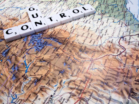
representation of gun control in the United States of America with USA map background
favorite
Коллекция по умолчанию
Коллекция по умолчанию
Создать новую
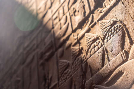
Beautiful natural light on ancient Egyptian drawings inside the Luxor Temple, Egypt
favorite
Коллекция по умолчанию
Коллекция по умолчанию
Создать новую
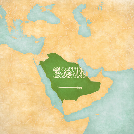
Saudi Arabia (Saudi Arabian flag) on the map of Middle East (Western Asia) in soft grunge and vintage style, like old paper with watercolor painting.
favorite
Коллекция по умолчанию
Коллекция по умолчанию
Создать новую
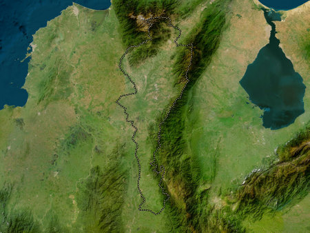
Cesar, department of Colombia. Low resolution satellite map
favorite
Коллекция по умолчанию
Коллекция по умолчанию
Создать новую
Поддержка
Copyright © Legion-Media.


