
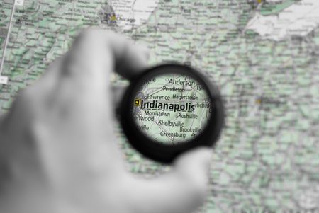
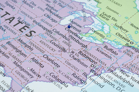
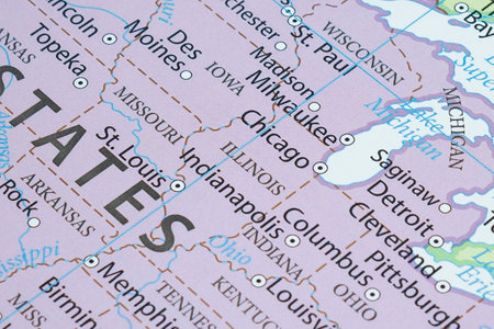
Selective focus on antique map of Indianapolis
Коллекция по умолчанию
Коллекция по умолчанию
Создать новую

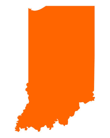
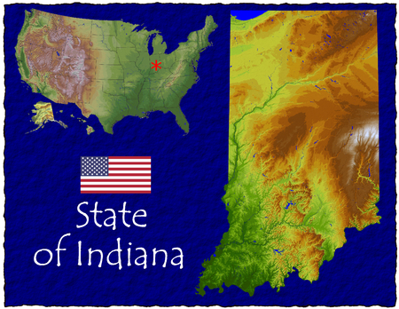
An Illustration on an Orange background of Indiana
Коллекция по умолчанию
Коллекция по умолчанию
Создать новую

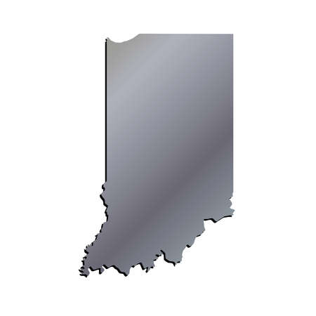
Map of Indiana, silver background, map background
Коллекция по умолчанию
Коллекция по умолчанию
Создать новую
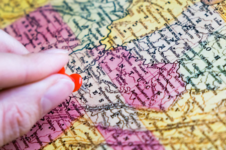
a lower Missouri River across the state of Missouri on vintage 1920s map (printed in 1926 - copyrights expired) with a red pushpin on Jefferson City, selective focus
Коллекция по умолчанию
Коллекция по умолчанию
Создать новую
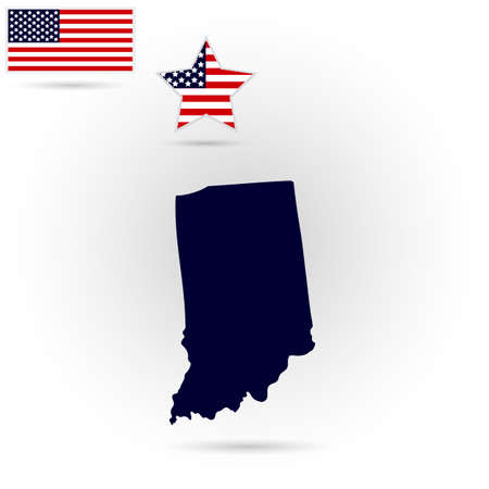
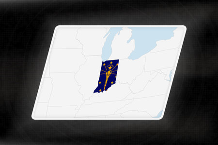
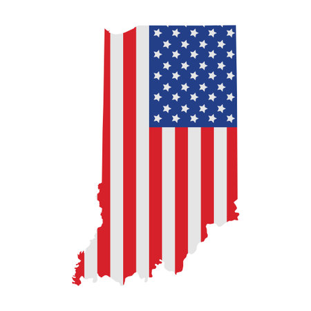
Map of the U.S. state of Indiana on a gray background. American flag, star.
Коллекция по умолчанию
Коллекция по умолчанию
Создать новую
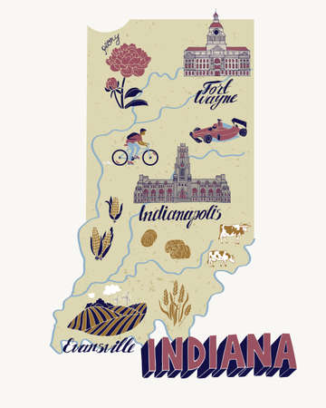
Illustrated map of Indiana, USA. Travel and attractions. Souvenir print
Коллекция по умолчанию
Коллекция по умолчанию
Создать новую

Travel to locations on map views paper destinations Ohio
Коллекция по умолчанию
Коллекция по умолчанию
Создать новую
indiana map
Коллекция по умолчанию
Коллекция по умолчанию
Создать новую

19 of 50 states of the United States with a name, nickname, and date admitted to the Union, Detailed Vector Indiana Map for printing posters, postcards and t-shirts
Коллекция по умолчанию
Коллекция по умолчанию
Создать новую
Indiana Highlighted in Flag Colors on Geographic Map. Modern Map on a dark abstract backdrop.
Коллекция по умолчанию
Коллекция по умолчанию
Создать новую

United States with selected Indiana map and Indiana flag icon. Vector map and flag.
Коллекция по умолчанию
Коллекция по умолчанию
Создать новую
Wichita, Kansas on a vintage map, closeup with a selective focus
Коллекция по умолчанию
Коллекция по умолчанию
Создать новую
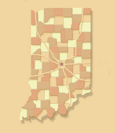
The state of Indiana is seen as a pastel patchwork of individual counties with a star for the capital Indianpolis. This is a 3-d illustration.
Коллекция по умолчанию
Коллекция по умолчанию
Создать новую
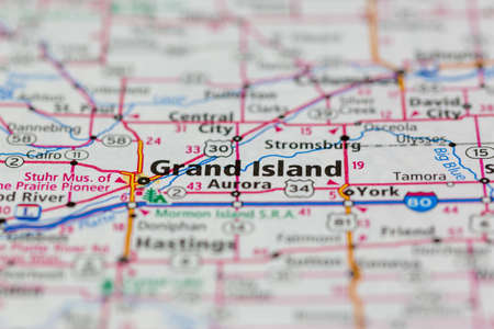
04-26-2021 Portsmouth, Hampshire, UK Grand Island Nebraska USA and surrounding areas Shown on a road map or Geography map
Коллекция по умолчанию
Коллекция по умолчанию
Создать новую

Indiana map outline PNG. State flag icon.
Коллекция по умолчанию
Коллекция по умолчанию
Создать новую

A Coloured background with the shape of the united states state of Indiana
Коллекция по умолчанию
Коллекция по умолчанию
Создать новую
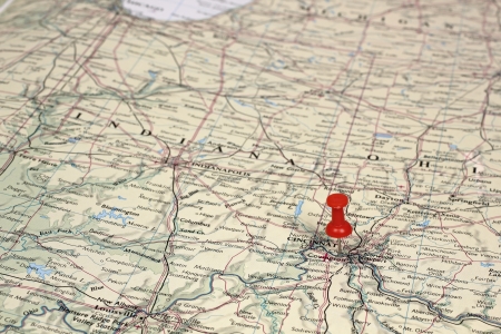
pin on the map Cincinnaty
Коллекция по умолчанию
Коллекция по умолчанию
Создать новую

World map focus United States, blur map and selective focus on red pin. The economic focus of USA. Dollar. Economic world. United States.
Коллекция по умолчанию
Коллекция по умолчанию
Создать новую

Indiana state map with flag. vector illustration.
Коллекция по умолчанию
Коллекция по умолчанию
Создать новую
Simple outline map of Indiana is a state of the United States. Stylized minimal line design
Коллекция по умолчанию
Коллекция по умолчанию
Создать новую
Map of Indiana
Коллекция по умолчанию
Коллекция по умолчанию
Создать новую
Close up to a Charleston city with a blue pin needle into United States of America country political map
Коллекция по умолчанию
Коллекция по умолчанию
Создать новую

Indiana vector map isolated on white background. High detailed silhouette illustration.
Коллекция по умолчанию
Коллекция по умолчанию
Создать новую

Detailed usa map pinpointing key election areas for analytical thorough review and in depth analysis
Коллекция по умолчанию
Коллекция по умолчанию
Создать новую
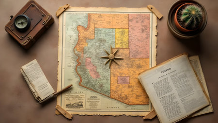
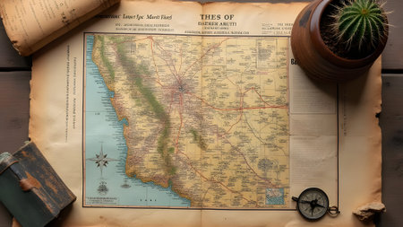
Old map with a compass and cactus on a brown background.
Коллекция по умолчанию
Коллекция по умолчанию
Создать новую
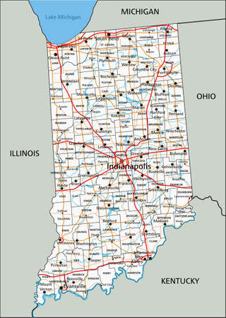
High detailed Indiana road map with labeling.
Коллекция по умолчанию
Коллекция по умолчанию
Создать новую
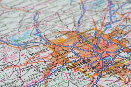
Map of Atlanta
Коллекция по умолчанию
Коллекция по умолчанию
Создать новую
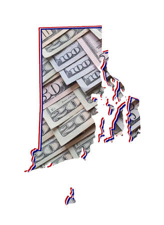
american dollar banknotes forming and the map of Rhode Island State and white background
Коллекция по умолчанию
Коллекция по умолчанию
Создать новую
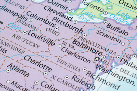
Close up to a Pittsburgh city with a white pin needle into United States of America country political map
Коллекция по умолчанию
Коллекция по умолчанию
Создать новую

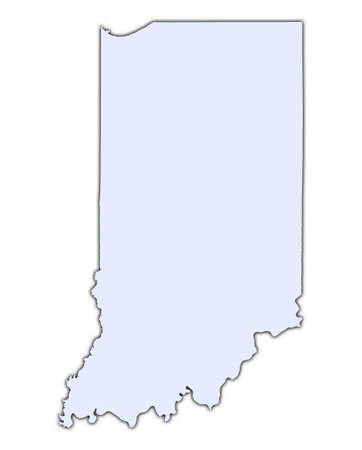
Map of the U.S. state of Indiana
Коллекция по умолчанию
Коллекция по умолчанию
Создать новую
Macro photography of Illinois state of United States of america political map with most important cities and borders
Коллекция по умолчанию
Коллекция по умолчанию
Создать новую

United States, East Coast Washington. Coronavirus COVID-19 global cases Map. Red Dot showing the number of infected. Johns Hopkins University map on monitor display.
Коллекция по умолчанию
Коллекция по умолчанию
Создать новую

High resolution topographic map of Indiana with land cover, rivers and shaded relief in 1:1.000.000 scale.
Коллекция по умолчанию
Коллекция по умолчанию
Создать новую
Map of the city of Prague, Czech Republic. Selective focus.
Коллекция по умолчанию
Коллекция по умолчанию
Создать новую
hi res aerial view of Indiana, USA
Коллекция по умолчанию
Коллекция по умолчанию
Создать новую

Travel destination, pin on map closeup
Коллекция по умолчанию
Коллекция по умолчанию
Создать новую
map of Indiana with USA flag on white background. vector illustration
Коллекция по умолчанию
Коллекция по умолчанию
Создать новую
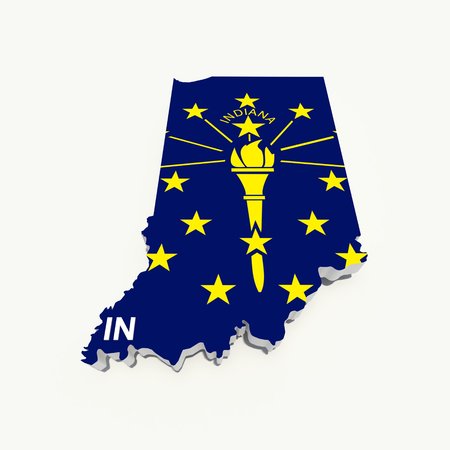
indiana flag on 3d map
Коллекция по умолчанию
Коллекция по умолчанию
Создать новую

American State Kentucky on the map of the world.
Коллекция по умолчанию
Коллекция по умолчанию
Создать новую

Indiana map on black background
Коллекция по умолчанию
Коллекция по умолчанию
Создать новую
Detailed usa map pinpointing key election areas for analytical thorough review and in depth analysis
Коллекция по умолчанию
Коллекция по умолчанию
Создать новую
Old map with cactus on wooden table, top view. Travel concept
Коллекция по умолчанию
Коллекция по умолчанию
Создать новую
Close up to a Detroit city with a red pin needle into United States of America country political map
Коллекция по умолчанию
Коллекция по умолчанию
Создать новую
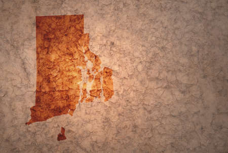
map of rhode island state on a old ancient vintage crack paper background
Коллекция по умолчанию
Коллекция по умолчанию
Создать новую
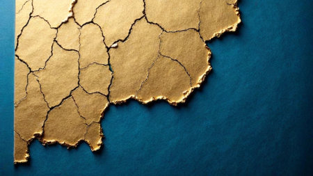
Closeup of cracked Renaissance style gold leaf over peacock blue under layer
Коллекция по умолчанию
Коллекция по умолчанию
Создать новую

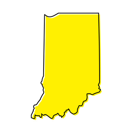
Dotted and Silhouette indiana map
Коллекция по умолчанию
Коллекция по умолчанию
Создать новую
October 7th, 2015 - Montreal, Canada. Old 1940s Webster's Dictionary United States of America Map Close-up
Коллекция по умолчанию
Коллекция по умолчанию
Создать новую
Indiana County, Pennsylvania blank outline map set
Коллекция по умолчанию
Коллекция по умолчанию
Создать новую
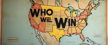
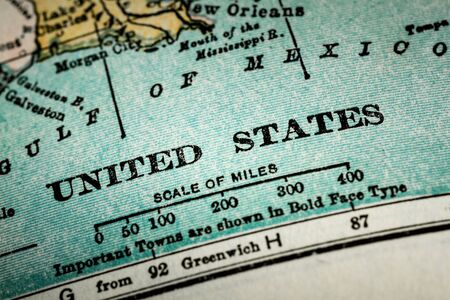
This striking vintage map of the United States features the bold question Who Will Win in large, eye-catching letters. The maps colorful state outlines create a vibrant backdrop, inviting viewers to ponder the excitement of competition and the spirit of rivalry across the nation.
Коллекция по умолчанию
Коллекция по умолчанию
Создать новую

Breaking News Map of Indiana, outline red glow map, on dark Background
Коллекция по умолчанию
Коллекция по умолчанию
Создать новую
Map of USA with a red pushpin stuck. Close-up of several color pushpin on a geographic map. The choice of the route.
Коллекция по умолчанию
Коллекция по умолчанию
Создать новую
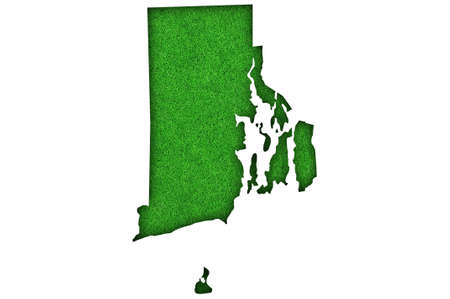
Map of Rhode Island on green felt
Коллекция по умолчанию
Коллекция по умолчанию
Создать новую

Indiana IN Road Map Pavement Construction Infrastructure 3d Illustration
Коллекция по умолчанию
Коллекция по умолчанию
Создать новую
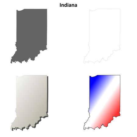
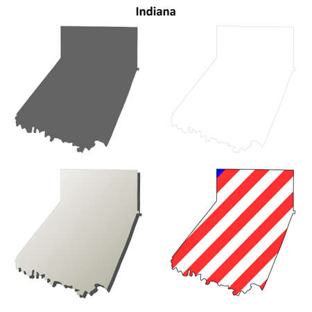
Indiana state blank vector outline map set
Коллекция по умолчанию
Коллекция по умолчанию
Создать новую
Macro photography of West Virginia state of United States of america political map with most important cities and borders
Коллекция по умолчанию
Коллекция по умолчанию
Создать новую

The national flag of the US state Indiana in against a gray smoke on the day of independence in different colors of blue red and yellow. Political and religious disputes, customs and delivery.
Коллекция по умолчанию
Коллекция по умолчанию
Создать новую

Map of Ohio on dark slate
Коллекция по умолчанию
Коллекция по умолчанию
Создать новую
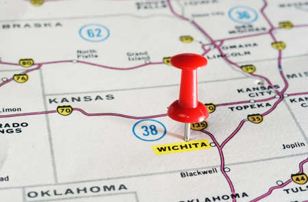
Close up of Wighita Kansan USA map with red pin - Travel concept
Коллекция по умолчанию
Коллекция по умолчанию
Создать новую

American State Kentucky on the map of the world.
Коллекция по умолчанию
Коллекция по умолчанию
Создать новую
Colorful vintage map featuring distinct regions and travel routes, perfect for educational purposes or as decorative artwork. Explore geography and adventure concepts.
Коллекция по умолчанию
Коллекция по умолчанию
Создать новую
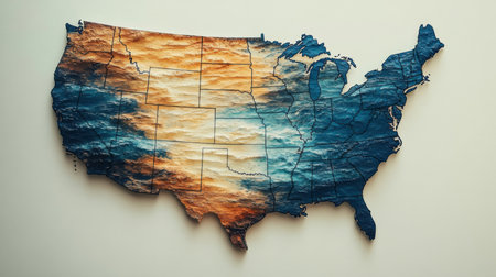
A colorful relief map of the U.S. showcases its topography, highlighting mountains, valleys, and plains to enhance understanding of the landscape.
Коллекция по умолчанию
Коллекция по умолчанию
Создать новую
USA
Коллекция по умолчанию
Коллекция по умолчанию
Создать новую
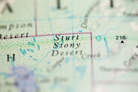
Shallow depth of field focus on geographical map location of Sturt Stony Desert Australia Oceania continent on atlas
Коллекция по умолчанию
Коллекция по умолчанию
Создать новую
3D Indiana State USA Aluminium Outline Map
Коллекция по умолчанию
Коллекция по умолчанию
Создать новую
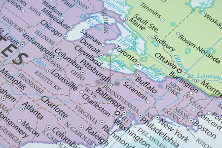
Map of DC - Map is Copyright Free Off a Government Website - nationalatlas.gov
Коллекция по умолчанию
Коллекция по умолчанию
Создать новую
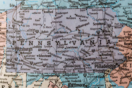
Old vintage map mounted on a wall showing the State of Pennsylvania.
Коллекция по умолчанию
Коллекция по умолчанию
Создать новую

Close-Up map of Butte, Montana
Коллекция по умолчанию
Коллекция по умолчанию
Создать новую

representation of world trade war initiated by United States of America import tariffs on steel and aluminium, with American map background
Коллекция по умолчанию
Коллекция по умолчанию
Создать новую
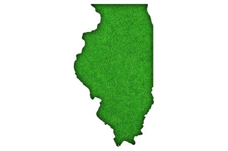
Map of Illinois on green felt
Коллекция по умолчанию
Коллекция по умолчанию
Создать новую
Коллекция по умолчанию
Коллекция по умолчанию
Создать новую
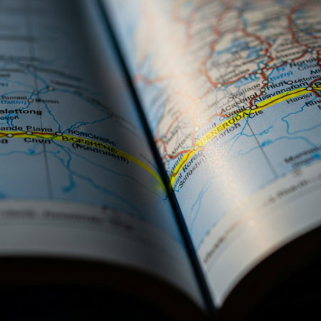
Close up of a map of the United States on an open book
Коллекция по умолчанию
Коллекция по умолчанию
Создать новую

Plexus flat map showing the state of Indiana from the United State of America on black background. USA. Plexus map of Indiana
Коллекция по умолчанию
Коллекция по умолчанию
Создать новую

Bangkok, Thailand - February 7, 2021; USA United of America flag on world map background.
Коллекция по умолчанию
Коллекция по умолчанию
Создать новую
Old map with cactus and compass on wooden background. Travel concept
Коллекция по умолчанию
Коллекция по умолчанию
Создать новую
Paradise found
Коллекция по умолчанию
Коллекция по умолчанию
Создать новую
Counties map of Indiana with USA flag icon set
Коллекция по умолчанию
Коллекция по умолчанию
Создать новую

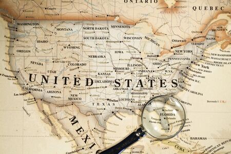
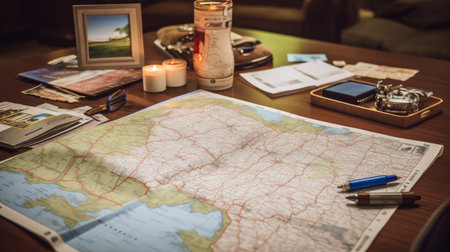
On the table under the magnifying glass are maps of the USA. Nearby is the pen and notebook. Travel preparation.
Коллекция по умолчанию
Коллекция по умолчанию
Создать новую
vector illustration of map of Indiana - U.S. state
Коллекция по умолчанию
Коллекция по умолчанию
Создать новую
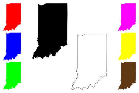
State of Indiana (United States of America, USA or U.S.A.) silhouette and outline Indiana map
Коллекция по умолчанию
Коллекция по умолчанию
Создать новую
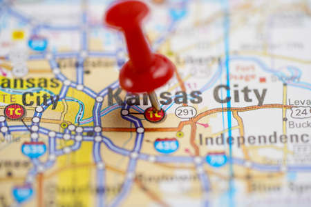
Kansas City, road map with red pushpin, city in the United States of America USA.
Коллекция по умолчанию
Коллекция по умолчанию
Создать новую

State of Indiana
Коллекция по умолчанию
Коллекция по умолчанию
Создать новую
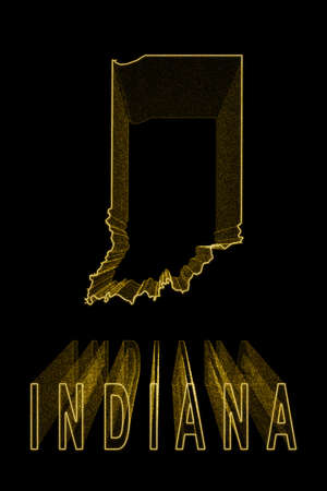
Map of Indiana, Gold Map On Black Background, Gold effect
Коллекция по умолчанию
Коллекция по умолчанию
Создать новую
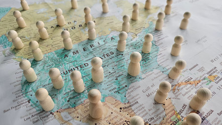
Examining the impact of population distribution in North America with wooden figures on a map
Коллекция по умолчанию
Коллекция по умолчанию
Создать новую
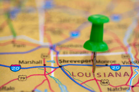
Roads on the map around the state of louisiana, marker pin, USA
Коллекция по умолчанию
Коллекция по умолчанию
Создать новую
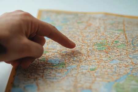
Exploring travel destinations hand on map focused planning indoor setting close-up view
Коллекция по умолчанию
Коллекция по умолчанию
Создать новую
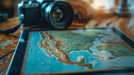
A digital tablet showcases a detailed map, accompanied by a camera, ready for planning adventures and capturing travel memories.
Коллекция по умолчанию
Коллекция по умолчанию
Создать новую
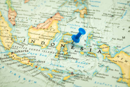
Location Indonesia, map with push pin closeup, travel and journey concept, Asia
Коллекция по умолчанию
Коллекция по умолчанию
Создать новую
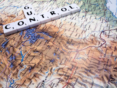
representation of gun control in the United States of America with USA map background
Коллекция по умолчанию
Коллекция по умолчанию
Создать новую
state ohio county map
Коллекция по умолчанию
Коллекция по умолчанию
Создать новую
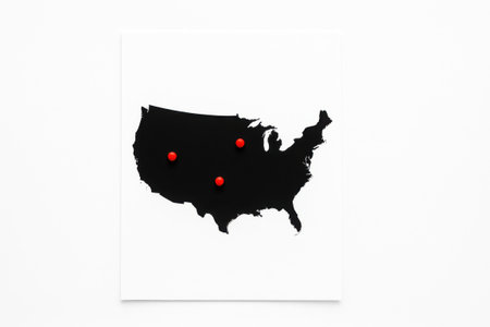
Top view black silhouette United States map on white sheet with three red round markers highlighting regions
Коллекция по умолчанию
Коллекция по умолчанию
Создать новую
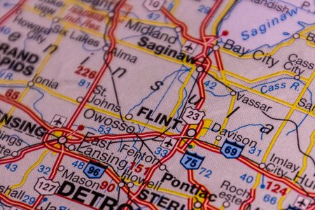
Flint, Michigan, USA on a road map.
Коллекция по умолчанию
Коллекция по умолчанию
Создать новую
Macro photography of Virginia state of United States of america political map with most important cities and borders
Коллекция по умолчанию
Коллекция по умолчанию
Создать новую

Place a pin on the map of Phnom Penh, Cambodia
Коллекция по умолчанию
Коллекция по умолчанию
Создать новую
Indiana (USA) light blue map with shadow. High resolution. Mercator projection.
Коллекция по умолчанию
Коллекция по умолчанию
Создать новую

Concept of travel and adventure, traveler lifestyle
Коллекция по умолчанию
Коллекция по умолчанию
Создать новую
Detailed high quality usa map with pinpointed election areas for analytical review
Коллекция по умолчанию
Коллекция по умолчанию
Создать новую
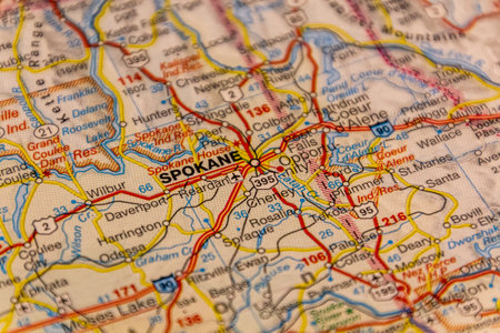
Spokane, Washington, USA on a road map
Коллекция по умолчанию
Коллекция по умолчанию
Создать новую
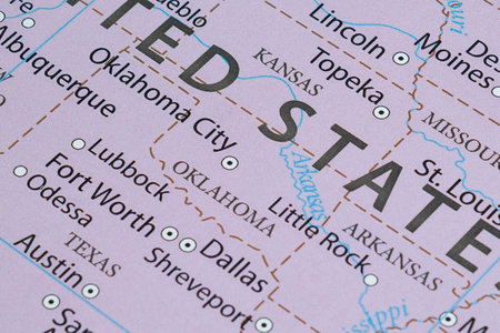
Macro photography of Oklahoma state of United States of america political map with most important cities and borders
Коллекция по умолчанию
Коллекция по умолчанию
Создать новую

Close up of New York USA map with yellow push pin
Коллекция по умолчанию
Коллекция по умолчанию
Создать новую
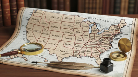
This image features a detailed historical map of Italy laid out on a wooden surface. The map is surrounded by various navigation tools including a magnifying glass, a compass, an inkwell with a quill, and a pair of scissors. The map highlights the regions and borders of Italy with clear labels for each area. The tools suggest a theme of exploration and study, possibly indicating a historical or educational context.
Коллекция по умолчанию
Коллекция по умолчанию
Создать новую
Legion-Media
Создайте свои проекты на основе качественных стоковых фотографий и видео.


Copyright © Legion-Media.