

Congo from space on Earth at night. Very fine detail of the plastic planet surface with bright city lights. 3D illustration.
Коллекция по умолчанию
Коллекция по умолчанию
Создать новую

Nature in Belarus. View from helicopter, Minsk
Коллекция по умолчанию
Коллекция по умолчанию
Создать новую

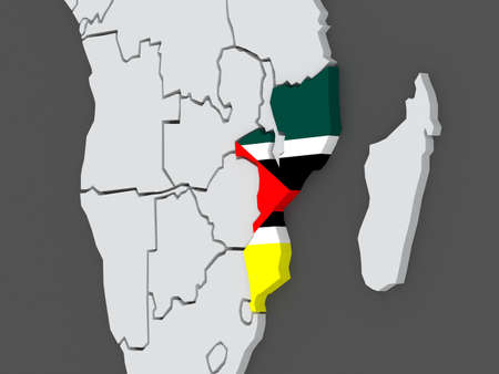
Sunset above Mozambique from space on planet Earth with visible country borders. 3D illustration.
Коллекция по умолчанию
Коллекция по умолчанию
Создать новую

Map and flag of Tanzania on weathered concrete
Коллекция по умолчанию
Коллекция по умолчанию
Создать новую

Hentiy, province of Mongolia. Sentinel-2 satellite imagery. Shape isolated on black. Description, location of the capital. Contains modified Copernicus Sentinel data
Коллекция по умолчанию
Коллекция по умолчанию
Создать новую

Shape of Liberia with its capital isolated on a solid color background. Satellite imagery. 3D rendering
Коллекция по умолчанию
Коллекция по умолчанию
Создать новую

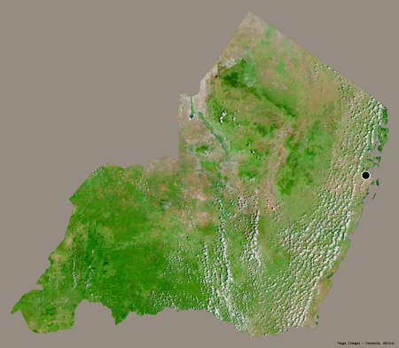
Shape of Savanes, region of Togo, with its capital isolated on a solid color background. Satellite imagery. 3D rendering
Коллекция по умолчанию
Коллекция по умолчанию
Создать новую

Togo Flag Over World Map, Selectiove Focus
Коллекция по умолчанию
Коллекция по умолчанию
Создать новую

Sunrise above Uruguay highlighted in red on model of planet Earth in space with visible country borders. 3D illustration.
Коллекция по умолчанию
Коллекция по умолчанию
Создать новую

waving colorful national flag of dominica on a gray map background.
Коллекция по умолчанию
Коллекция по умолчанию
Создать новую

Map icon of Guinea-Bissau. Blue map of Africa with highlighted Guinea-Bissau in red color. Vector Illustration.
Коллекция по умолчанию
Коллекция по умолчанию
Создать новую

Political map Nigeria with national flag symbol embedded into the country. 3D illustration
Коллекция по умолчанию
Коллекция по умолчанию
Создать новую

Banteay Meanchey, province of Cambodia. Grayscale elevation map with lakes and rivers
Коллекция по умолчанию
Коллекция по умолчанию
Создать новую
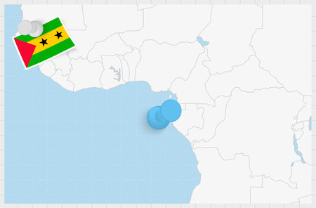
Map of Sao Tome and Principe with a pinned blue pin. Pinned flag of Sao Tome and Principe, vector illustration.
Коллекция по умолчанию
Коллекция по умолчанию
Создать новую

Botswana Map Shaded relief Color Height map on the sea Blue Background 3d illustration
Коллекция по умолчанию
Коллекция по умолчанию
Создать новую

South Sudan in early morning light highlighted in red on planet Earth. 3D illustration.
Коллекция по умолчанию
Коллекция по умолчанию
Создать новую
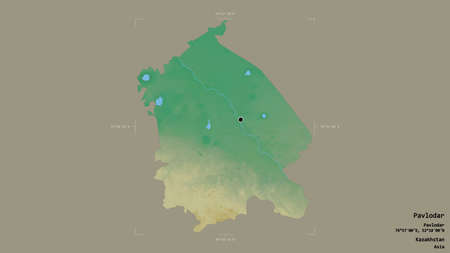
Area of Pavlodar, region of Kazakhstan, isolated on a solid background in a georeferenced bounding box. Labels. Topographic relief map. 3D rendering
Коллекция по умолчанию
Коллекция по умолчанию
Создать новую

Mozambique with embedded national flag at night from space. 3D illustration with detailed planet surface and visible city lights.
Коллекция по умолчанию
Коллекция по умолчанию
Создать новую

Map of worlds. Zimbabwe. 3d
Коллекция по умолчанию
Коллекция по умолчанию
Создать новую

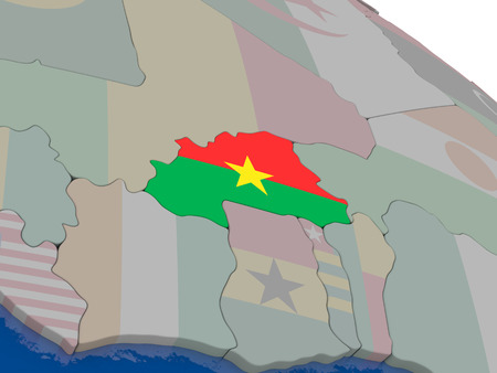
Map of worlds. Burkina Faso. 3d
Коллекция по умолчанию
Коллекция по умолчанию
Создать новую

Aerial view of the Dnieper river near Kiev
Коллекция по умолчанию
Коллекция по умолчанию
Создать новую

Equatorial Guinea from space on model of planet Earth with country borders and very detailed planet surface. 3D illustration.
Коллекция по умолчанию
Коллекция по умолчанию
Создать новую

Angola on planet Earth at night with visible country borders. 3D illustration.
Коллекция по умолчанию
Коллекция по умолчанию
Создать новую
Shape of Tanga, region of Tanzania, with its capital isolated on a solid color background. Satellite imagery. 3D rendering
Коллекция по умолчанию
Коллекция по умолчанию
Создать новую

Swaziland in red on planet Earth at night with visible borderlines and city lights. 3D illustration.
Коллекция по умолчанию
Коллекция по умолчанию
Создать новую

Aerial view of rural village with dam and river green forest in morning
Коллекция по умолчанию
Коллекция по умолчанию
Создать новую

Long asphalt country road leading through rural Senegal with donkey cart and lush vegetation, Africa
Коллекция по умолчанию
Коллекция по умолчанию
Создать новую

Burkina Faso area enlarged and glowed on a darkened background of its surroundings. Satellite imagery
Коллекция по умолчанию
Коллекция по умолчанию
Создать новую

Map of Mali on elegant shiny globe. 3D illustration
Коллекция по умолчанию
Коллекция по умолчанию
Создать новую

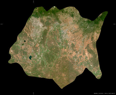
Zimbabwe area enlarged and glowed on a darkened background of its surroundings. Satellite imagery
Коллекция по умолчанию
Коллекция по умолчанию
Создать новую

Outline map of Democratic Republic of Congo with flag and grunge paper effect
Коллекция по умолчанию
Коллекция по умолчанию
Создать новую
Morelos, state of Mexico. Sentinel-2 satellite imagery. Shape isolated on black. Description, location of the capital. Contains modified Copernicus Sentinel data
Коллекция по умолчанию
Коллекция по умолчанию
Создать новую

Mandalay Myanmar Burma Southeast Asia view to the landscape and cityscape from Mandalay Hill
Коллекция по умолчанию
Коллекция по умолчанию
Создать новую

Vinales Valley, elevated view, Pinar del Rio Province, Cuba
Коллекция по умолчанию
Коллекция по умолчанию
Создать новую

Central African Map Central Africa Flag Shaded relief Color Height map on Flag Background 3d illustration
Коллекция по умолчанию
Коллекция по умолчанию
Создать новую

Dem Rep of Congo on realistic model of planet Earth with country borders and very detailed planet surface. 3D illustration.
Коллекция по умолчанию
Коллекция по умолчанию
Создать новую

Gran Canaria architecture in the nature with colorful village houses
Коллекция по умолчанию
Коллекция по умолчанию
Создать новую

Luxembourg area map in the Azimuthal Equidistant projection. shapes only - land/ocean mask. Full composition of rasters with borders, main cities, capital name and graticule
Коллекция по умолчанию
Коллекция по умолчанию
Создать новую

Democratic Republic of the Congo area enlarged and glowed on a darkened background of its surroundings. Satellite imagery
Коллекция по умолчанию
Коллекция по умолчанию
Создать новую
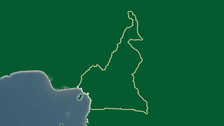
Cameroon area map in the Azimuthal Equidistant projection. color physical map. Clean shape without borders
Коллекция по умолчанию
Коллекция по умолчанию
Создать новую

Detail of the Mauritania national flag waving in the wind. Green with yellow crescent, star between two red bands. 3d illustration render. Selective focus. Close-up. Textured background
Коллекция по умолчанию
Коллекция по умолчанию
Создать новую

Aerial view of Traditional Mon village in morning foggy and wooden Mon bridge in the dam at Sangkhlaburi, Kanchanaburi, Thailand
Коллекция по умолчанию
Коллекция по умолчанию
Создать новую

Shape of Vakaga, prefecture of Central African Republic, with its capital isolated on a solid color background. Satellite imagery. 3D rendering
Коллекция по умолчанию
Коллекция по умолчанию
Создать новую
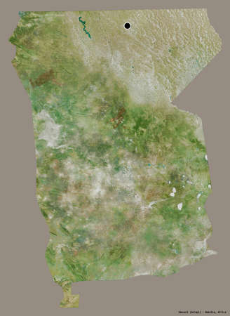
Shape of Omusati, region of Namibia, with its capital isolated on a solid color background. Satellite imagery. 3D rendering
Коллекция по умолчанию
Коллекция по умолчанию
Создать новую

Territory of Tanzania on a white background
Коллекция по умолчанию
Коллекция по умолчанию
Создать новую
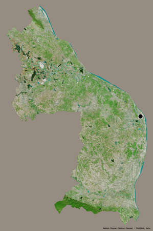
Shape of Nakhon Phanom, province of Thailand, with its capital isolated on a solid color background. Satellite imagery. 3D rendering
Коллекция по умолчанию
Коллекция по умолчанию
Создать новую

Sinoe, county of Liberia. Low resolution satellite maps
Коллекция по умолчанию
Коллекция по умолчанию
Создать новую

Central African Republic flag waving in the wind against a blue sky with clouds. 3D rendering.
Коллекция по умолчанию
Коллекция по умолчанию
Создать новую
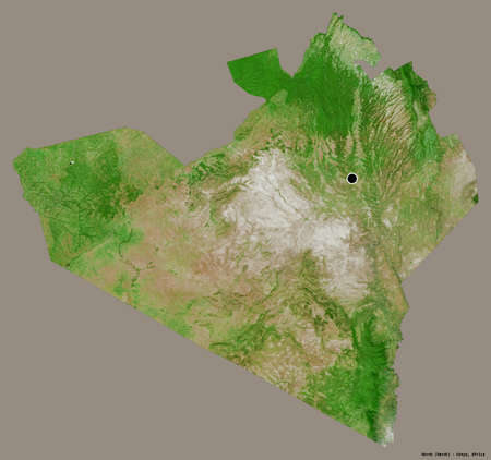
Shape of Narok, county of Kenya, with its capital isolated on a solid color background. Satellite imagery. 3D rendering
Коллекция по умолчанию
Коллекция по умолчанию
Создать новую

Space orbit view of Ghana highlighted in red on planet Earth at night with visible country borders and city lights. 3D illustration.
Коллекция по умолчанию
Коллекция по умолчанию
Создать новую
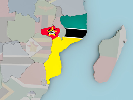
Map of worlds. Mozambique. 3d
Коллекция по умолчанию
Коллекция по умолчанию
Создать новую

Congo from space on model of planet Earth with country borders. Extremely fine detail of planet surface and clouds. 3D illustration.
Коллекция по умолчанию
Коллекция по умолчанию
Создать новую

map of guinea with flag on white isolated
Коллекция по умолчанию
Коллекция по умолчанию
Создать новую

Old Cameroon grunge background flag
Коллекция по умолчанию
Коллекция по умолчанию
Создать новую

Satellite view of Equatorial Guinea at night with visible bright city lights. Extremely fine detail of the plastic planet surface. 3D illustration.
Коллекция по умолчанию
Коллекция по умолчанию
Создать новую

Map of Luxembourg with borders in violet
Коллекция по умолчанию
Коллекция по умолчанию
Создать новую

Map and flag of Cameroon. Vector illustration. World map
Коллекция по умолчанию
Коллекция по умолчанию
Создать новую

Benin in red at night as seen from Earth's orbit in space. 3D illustration with highly detailed realistic planet surface. Elements of this image furnished by NASA.
Коллекция по умолчанию
Коллекция по умолчанию
Создать новую

Map of Benin. 3d
Коллекция по умолчанию
Коллекция по умолчанию
Создать новую

Yellow 3D Map of qatar on a Dark Background, Displaying Geographical Shape and Borders for Educational and Informational Use
Коллекция по умолчанию
Коллекция по умолчанию
Создать новую
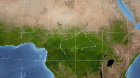
Caf. Neighborhood - distant perspective with outline of the country. satellite imagery
Коллекция по умолчанию
Коллекция по умолчанию
Создать новую

Colorful houses in tropical city aerial drone view
Коллекция по умолчанию
Коллекция по умолчанию
Создать новую

Mandalay with lake mountains, temples and pagodas seen from mandalay hill at sunset, Burma.
Коллекция по умолчанию
Коллекция по умолчанию
Создать новую

beautiful aerial photo of terrain with rolled roads and tracks on it with access to water
Коллекция по умолчанию
Коллекция по умолчанию
Создать новую

Burkina Faso from orbit of planet Earth in sunrise with highly detailed surface textures and visible country borders. 3D illustration.
Коллекция по умолчанию
Коллекция по умолчанию
Создать новую

Grenada flag with some soft highlights and folds
Коллекция по умолчанию
Коллекция по умолчанию
Создать новую

Gabon on planet Earth with country borders and highly detailed planet surface. 3D illustration.
Коллекция по умолчанию
Коллекция по умолчанию
Создать новую

big size black map of senegal with flag
Коллекция по умолчанию
Коллекция по умолчанию
Создать новую

Map of Cameroon. 3d
Коллекция по умолчанию
Коллекция по умолчанию
Создать новую

snecery of sunrise above the lake in the morning
Коллекция по умолчанию
Коллекция по умолчанию
Создать новую

Top-down view of Togo highlighted in red with surrounding region. 3D illustration with highly detailed realistic planet surface.
Коллекция по умолчанию
Коллекция по умолчанию
Создать новую

Benin in red on political map with watery oceans. 3D illustration
Коллекция по умолчанию
Коллекция по умолчанию
Создать новую

Tanzania Metallic flag, Textured flag, grunge flag
Коллекция по умолчанию
Коллекция по умолчанию
Создать новую

Close up grungy, damaged and weathered Tanzania flag on wall peeling off paint to see inside surface.
Коллекция по умолчанию
Коллекция по умолчанию
Создать новую

The Cameroonian flag painted on a cork board.
Коллекция по умолчанию
Коллекция по умолчанию
Создать новую

Angolan flag with a globe map as a background macro
Коллекция по умолчанию
Коллекция по умолчанию
Создать новую

Vintage paper map of Sierra Leone
Коллекция по умолчанию
Коллекция по умолчанию
Создать новую

Paraguay at night from space with visible country borders. 3D illustration.
Коллекция по умолчанию
Коллекция по умолчанию
Создать новую

beautiful morning view indonesia panorama landscape with beauty color and sky natural light
Коллекция по умолчанию
Коллекция по умолчанию
Создать новую

Ivoloina, Madagascar - December 22, 2015: Malagasy countryside man from village transport freight by Traditional handmade dugout wooden boat near the city of Toamasina (Tamatave), Madagascar, East Africa. Everyday life on the river.
Коллекция по умолчанию
Коллекция по умолчанию
Создать новую

Aerial View from Drone top view of the village in summer season and Roofs of the houses Bird's-eye view of roads.
Коллекция по умолчанию
Коллекция по умолчанию
Создать новую

Primorye, territory of Russia. Low resolution satellite maps
Коллекция по умолчанию
Коллекция по умолчанию
Создать новую
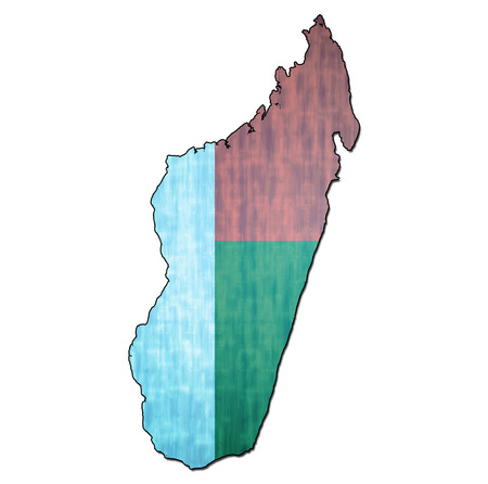
map with flag of madagascar with national borders
Коллекция по умолчанию
Коллекция по умолчанию
Создать новую

Map of Central Africa in red as seen from space on planet Earth with white borderlines. 3D illustration.
Коллекция по умолчанию
Коллекция по умолчанию
Создать новую

Flag of French Guiana painted on cracked dirty wall. National pattern on vintage style surface.
Коллекция по умолчанию
Коллекция по умолчанию
Создать новую

a beautiful landscape of mountains and valleys. Vietnam
Коллекция по умолчанию
Коллекция по умолчанию
Создать новую
Shape of Kogi, state of Nigeria, with its capital isolated on a solid color background. Satellite imagery. 3D rendering
Коллекция по умолчанию
Коллекция по умолчанию
Создать новую
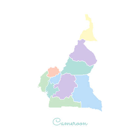
Cameroon region map: colorful with white outline. Detailed map of Cameroon regions. Vector illustration.
Коллекция по умолчанию
Коллекция по умолчанию
Создать новую

Dem Rep of Congo from space on Earth at night. Very fine detail of the plastic planet surface with bright city lights. 3D illustration.
Коллекция по умолчанию
Коллекция по умолчанию
Создать новую
Burkina Faso with flag highlighted on model of globe. 3D illustration
Коллекция по умолчанию
Коллекция по умолчанию
Создать новую
Mozambique with national flag on political globe. 3D illustration.
Коллекция по умолчанию
Коллекция по умолчанию
Создать новую

Old rusty metal sign with a flag - Cameroon
Коллекция по умолчанию
Коллекция по умолчанию
Создать новую

field texture top view from drone
Коллекция по умолчанию
Коллекция по умолчанию
Создать новую
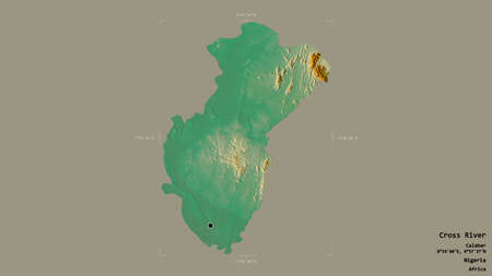
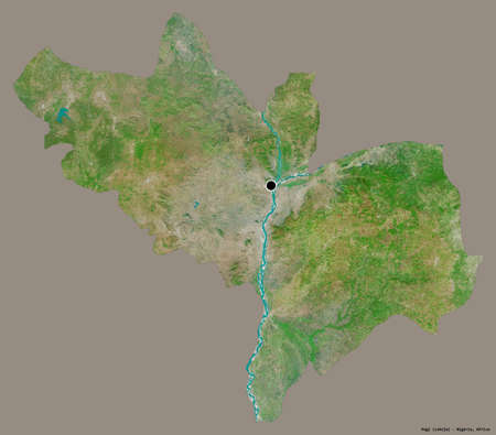
Area of Cross River, state of Nigeria, isolated on a solid background in a georeferenced bounding box. Labels. Topographic relief map. 3D rendering
Коллекция по умолчанию
Коллекция по умолчанию
Создать новую

Ivory Coast map highlighted in Ivory Coast flag colors, gray map with neighboring countries.
Коллекция по умолчанию
Коллекция по умолчанию
Создать новую

Chad highlighted in red on planet Earth at night with visible borders and city lights. 3D illustration.
Коллекция по умолчанию
Коллекция по умолчанию
Создать новую
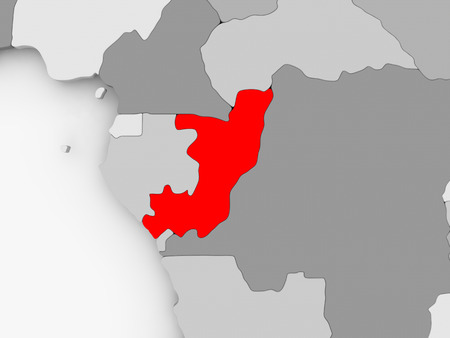
Congo in red on grey political map. 3D illustration.
Коллекция по умолчанию
Коллекция по умолчанию
Создать новую

Burkina Faso with embedded flag on political globe. 3D illustration.
Коллекция по умолчанию
Коллекция по умолчанию
Создать новую

Meghalaya, state of India. Sentinel-2 satellite imagery. Shape isolated on white. Description, location of the capital. Contains modified Copernicus Sentinel data
Коллекция по умолчанию
Коллекция по умолчанию
Создать новую
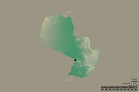
Area of Paraguay isolated on a solid background in a georeferenced bounding box. Main regional division, distance scale, labels. Topographic relief map. 3D rendering
Коллекция по умолчанию
Коллекция по умолчанию
Создать новую
Legion-Media
Создайте свои проекты на основе качественных стоковых фотографий и видео.


Copyright © Legion-Media.