

Hand drawn map of France painted with colors of French flag. Color vector illustration isolated on white background.
Коллекция по умолчанию
Коллекция по умолчанию
Создать новую

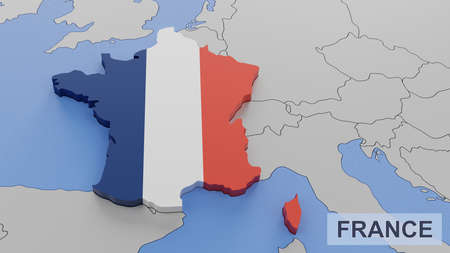
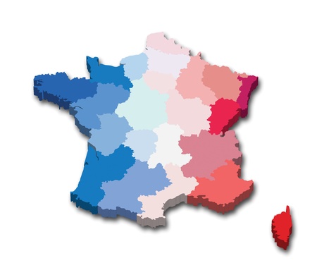
Three-dimensional map of France. 3d
Коллекция по умолчанию
Коллекция по умолчанию
Создать новую

06-08-2021 Portsmouth, Hampshire, UK, East Flat Rock North Carolina USA shown on a Road map or Geography map
Коллекция по умолчанию
Коллекция по умолчанию
Создать новую

France map europe zone atlas
Коллекция по умолчанию
Коллекция по умолчанию
Создать новую

Political map of France with the several regions where Lorraine is highlighted.
Коллекция по умолчанию
Коллекция по умолчанию
Создать новую

Close up shot of the Japanese map.
Коллекция по умолчанию
Коллекция по умолчанию
Создать новую

map of France
Коллекция по умолчанию
Коллекция по умолчанию
Создать новую

Detailed vector map France divided on regions isolated on background. Template Europe country for pattern, infographic, design, illustration. Concept outline of administrative divisions France
Коллекция по умолчанию
Коллекция по умолчанию
Создать новую

France on Map
Коллекция по умолчанию
Коллекция по умолчанию
Создать новую

Orographic map of the southern region of Portugal. With references in Spanish. Concept of cartography, travel, tourism, geography. differential focus
Коллекция по умолчанию
Коллекция по умолчанию
Создать новую

Hand marking Paris on map with red pin
Коллекция по умолчанию
Коллекция по умолчанию
Создать новую

Location New Caledonia France, map with push pin closeup, travel and journey concept
Коллекция по умолчанию
Коллекция по умолчанию
Создать новую

silver compass on world map background, close-up
Коллекция по умолчанию
Коллекция по умолчанию
Создать новую

Abstract geometric futuristic concept 3d Map of France with borders as scribble, blue neon style. 3d rendering
Коллекция по умолчанию
Коллекция по умолчанию
Создать новую

Hand drawn map of France painted with colors of French flag. Color illustration isolated on white background.
Коллекция по умолчанию
Коллекция по умолчанию
Создать новую

Three-dimensional map of France on white isolated background. 3d
Коллекция по умолчанию
Коллекция по умолчанию
Создать новую

Ireland, is printed out on an old map.
Коллекция по умолчанию
Коллекция по умолчанию
Создать новую
Infographics France map outline, flat design, color blue orange blank
Коллекция по умолчанию
Коллекция по умолчанию
Создать новую

Illustration of a long shadow hexagon icon with the map of France
Коллекция по умолчанию
Коллекция по умолчанию
Создать новую

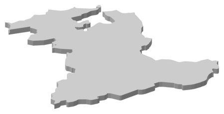
Map of Champagne - Ardennes. France. 3d
Коллекция по умолчанию
Коллекция по умолчанию
Создать новую

map of france with administrative divisions over digital background
Коллекция по умолчанию
Коллекция по умолчанию
Создать новую

France Country Vector Map
Коллекция по умолчанию
Коллекция по умолчанию
Создать новую
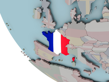
Map of France on political globe with embedded flags. 3D illustration.
Коллекция по умолчанию
Коллекция по умолчанию
Создать новую
France and Netherlands - pin flags on political map - 3D illustration
Коллекция по умолчанию
Коллекция по умолчанию
Создать новую

Illustration of elements for France Bastille Day background
Коллекция по умолчанию
Коллекция по умолчанию
Создать новую

Orange Flat Vector Map of France
Коллекция по умолчанию
Коллекция по умолчанию
Создать новую

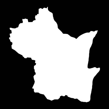
Languedoc-Roussillon blank detailed vector outline map set
Коллекция по умолчанию
Коллекция по умолчанию
Создать новую

04-30-2021 Portsmouth, Hampshire, UK Seneca Georgia USA Shown on a Geography map or road map
Коллекция по умолчанию
Коллекция по умолчанию
Создать новую

Brazil on the map. Brazil on the world map.
Коллекция по умолчанию
Коллекция по умолчанию
Создать новую

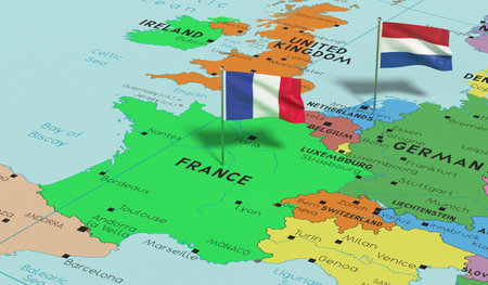
Ukraine and France on the map of Europe in soft grunge and vintage style, like old paper with watercolor painting.
Коллекция по умолчанию
Коллекция по умолчанию
Создать новую

France FR Homes Homes Map New Real Estate Development 3d Illustration
Коллекция по умолчанию
Коллекция по умолчанию
Создать новую

France at night from space with visible country borders. 3D illustration.
Коллекция по умолчанию
Коллекция по умолчанию
Создать новую
France map blue white card paper 3D raster
Коллекция по умолчанию
Коллекция по умолчанию
Создать новую

Three-dimensional map of France. 3d
Коллекция по умолчанию
Коллекция по умолчанию
Создать новую

Close-up view of the roads on the map around the Trentino region of South Tyrol, Italy, May 2020
Коллекция по умолчанию
Коллекция по умолчанию
Создать новую

Macro of Poland on a globe, narrow depth of field
Коллекция по умолчанию
Коллекция по умолчанию
Создать новую

Extended area of France with country outline, international and regional borders. Colored elevation map. 3D rendering
Коллекция по умолчанию
Коллекция по умолчанию
Создать новую

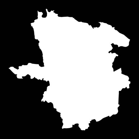
Lorraine on old map of france with flags of administrative divisions
Коллекция по умолчанию
Коллекция по умолчанию
Создать новую

Shape of France with its capital isolated on white background. Colored elevation map. 3D rendering
Коллекция по умолчанию
Коллекция по умолчанию
Создать новую

Boundaries of Parana State - mideast Brazil
Коллекция по умолчанию
Коллекция по умолчанию
Создать новую

map of Brazil with a blue tag on it
Коллекция по умолчанию
Коллекция по умолчанию
Создать новую

France map countries
Коллекция по умолчанию
Коллекция по умолчанию
Создать новую

Stylized map of France. Isometric 3D green map with cities, borders, capital Paris, regions. Vector illustration. Editable layers clearly labeled. English language.
Коллекция по умолчанию
Коллекция по умолчанию
Создать новую

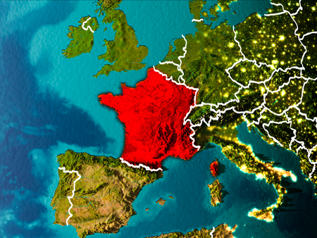
Satellite night view of France highlighted in red on planet Earth. 3D illustration.
Коллекция по умолчанию
Коллекция по умолчанию
Создать новую
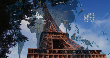
Capturing iron Eiffel Tower rising into Paris sky, with world map overlay and digital network icons. Architecture, landmark, innovation, technology, urban, infrastructure, connectivity
Коллекция по умолчанию
Коллекция по умолчанию
Создать новую
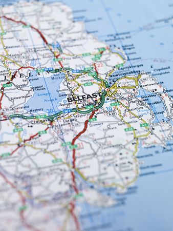
Map of Belfast in Northern Ireland
Коллекция по умолчанию
Коллекция по умолчанию
Создать новую
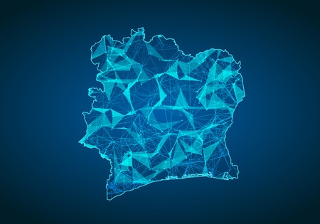
Abstract mash line and point scales on dark background with map of ivory Coast. Abstract network vector concept of ivory Coast. Internet and connection map background. Triangle, dot ,line Vector.
Коллекция по умолчанию
Коллекция по умолчанию
Создать новую

Centre on old map of france with flags of administrative divisions
Коллекция по умолчанию
Коллекция по умолчанию
Создать новую

Map of France showing all regions. 3D Rendering
Коллекция по умолчанию
Коллекция по умолчанию
Создать новую

03-01-2021 Portsmouth, Hampshire, UK Luxembourg Shown on a road map or Geography map and atlas
Коллекция по умолчанию
Коллекция по умолчанию
Создать новую
France in the morning highlighted in red on planet Earth with visible border lines and city lights. 3D illustration.
Коллекция по умолчанию
Коллекция по умолчанию
Создать новую
France map 3D illustration. 3D rendering image and part of the series.
Коллекция по умолчанию
Коллекция по умолчанию
Создать новую

Illustration of the new map of France
Коллекция по умолчанию
Коллекция по умолчанию
Создать новую

YELLOW CMYK color detailed flat stencil map of the European country of UKRAINE on transparent background
Коллекция по умолчанию
Коллекция по умолчанию
Создать новую
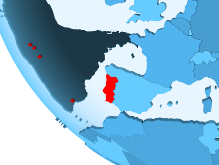
Portugal highlighted in red on blue political globe with transparent oceans. 3D illustration.
Коллекция по умолчанию
Коллекция по умолчанию
Создать новую
Branicevski, district of Serbia. solid color shape
Коллекция по умолчанию
Коллекция по умолчанию
Создать новую

France in red on realistic map with embossed countries. 3D illustration.
Коллекция по умолчанию
Коллекция по умолчанию
Создать новую

Map of Languedoc - Roussillon. France. 3d
Коллекция по умолчанию
Коллекция по умолчанию
Создать новую

Three-dimensional map of France on white isolated background. 3d
Коллекция по умолчанию
Коллекция по умолчанию
Создать новую

Brooklyn, New York is the center of focus on an old map.
Коллекция по умолчанию
Коллекция по умолчанию
Создать новую

Three-dimensional map of France. 3d
Коллекция по умолчанию
Коллекция по умолчанию
Создать новую

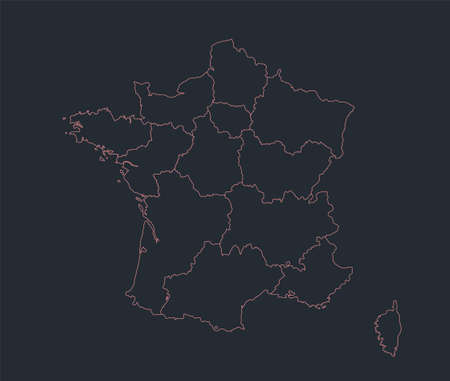
New regions of France
Коллекция по умолчанию
Коллекция по умолчанию
Создать новую

abstract country map with states divions on a white background
Коллекция по умолчанию
Коллекция по умолчанию
Создать новую

Map of Aquitaine (region). France. 3d
Коллекция по умолчанию
Коллекция по умолчанию
Создать новую

3d illustration of France reprensented by a blue continent on white background
Коллекция по умолчанию
Коллекция по умолчанию
Создать новую

Languedoc-Roussillon on old map of france with flags of administrative divisions
Коллекция по умолчанию
Коллекция по умолчанию
Создать новую
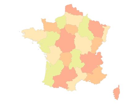
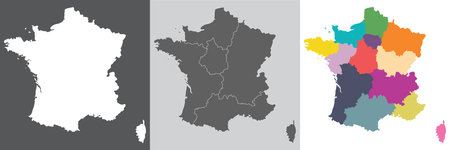
Detailed Flat Vector Map of France with Regions
Коллекция по умолчанию
Коллекция по умолчанию
Создать новую

Glowing Map of Oman, modern blue outline map, on dark Background
Коллекция по умолчанию
Коллекция по умолчанию
Создать новую

Map of Alsace. France. 3d
Коллекция по умолчанию
Коллекция по умолчанию
Создать новую
Map of Bern, a province of Swizerland.
Коллекция по умолчанию
Коллекция по умолчанию
Создать новую
map of France with regions in flat desing
Коллекция по умолчанию
Коллекция по умолчанию
Создать новую

Illustration of an isolated tooltip icon with the map of France
Коллекция по умолчанию
Коллекция по умолчанию
Создать новую
Kampong Speu province map, administrative division of Cambodia. Vector illustration.
Коллекция по умолчанию
Коллекция по умолчанию
Создать новую

Pushpin planted in Paris on a road map
Коллекция по умолчанию
Коллекция по умолчанию
Создать новую

Highly detailed editable political map with separated layers. France.
Коллекция по умолчанию
Коллекция по умолчанию
Создать новую

France watercolor map vector illustration of green color on light background using paint brush in paper page
Коллекция по умолчанию
Коллекция по умолчанию
Создать новую

Contour map of France on white background. Vector illustration
Коллекция по умолчанию
Коллекция по умолчанию
Создать новую

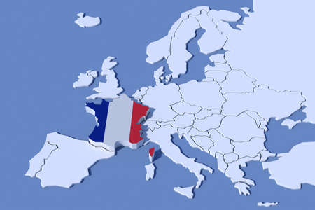
Map and flag of France , French Republic
Коллекция по умолчанию
Коллекция по умолчанию
Создать новую

3D map showcasing mountains, valleys, and paths with vibrant details.
Коллекция по умолчанию
Коллекция по умолчанию
Создать новую

Vintage Travel Map With The Word Explore Spelled Out, Symbolizing Adventure And Exploration
Коллекция по умолчанию
Коллекция по умолчанию
Создать новую
Political map of France with the several regions where Champagne-Ardenne is highlighted.
Коллекция по умолчанию
Коллекция по умолчанию
Создать новую

Map of Languedoc - Roussillon. France. 3d
Коллекция по умолчанию
Коллекция по умолчанию
Создать новую

Three-dimensional map of Portugal. 3d
Коллекция по умолчанию
Коллекция по умолчанию
Создать новую

05-18-2021 Portsmouth, Hampshire, UK, Bonne Terre Missouri USA shown on a Geography map or road map
Коллекция по умолчанию
Коллекция по умолчанию
Создать новую

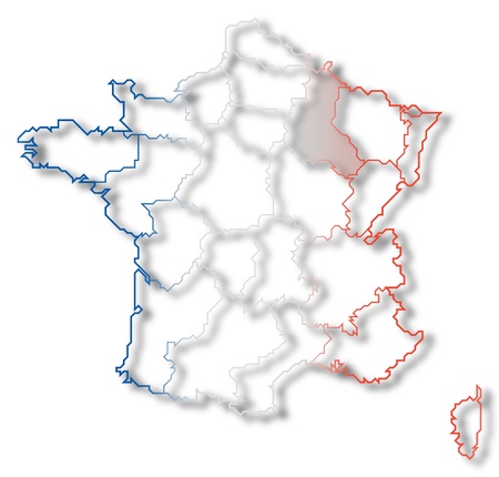
Political map of France with the several regions where Burgundy is highlighted.
Коллекция по умолчанию
Коллекция по умолчанию
Создать новую

Night map of France as seen from space on planet Earth. 3D illustration.
Коллекция по умолчанию
Коллекция по умолчанию
Создать новую

A closeup map of Europe found on a globe of the Earth.
Коллекция по умолчанию
Коллекция по умолчанию
Создать новую
Laane Viru county map, the state administrative subdivision of Estonia. Vector illustration.
Коллекция по умолчанию
Коллекция по умолчанию
Создать новую

Austria map with drawn lines and blue watercolor illustration
Коллекция по умолчанию
Коллекция по умолчанию
Создать новую

A macro photograph of a world map highlighting the country of Turkey.
Коллекция по умолчанию
Коллекция по умолчанию
Создать новую

Macro of Poland on a globe, narrow depth of field
Коллекция по умолчанию
Коллекция по умолчанию
Создать новую

Global network connection over the world. 3d rendering toned image
Коллекция по умолчанию
Коллекция по умолчанию
Создать новую

Terrestrial silhouette map of the France with regions. All objects are independent and fully editable. Source of map: http://www.lib.utexas.edu/maps/europe/france_admin91.jpg
Коллекция по умолчанию
Коллекция по умолчанию
Создать новую

French flag waving with cityscape in the background, symbolizing pride and patriotism
Коллекция по умолчанию
Коллекция по умолчанию
Создать новую

Provence alpes cote d'azur highlighted red on france map. Gray background.
Коллекция по умолчанию
Коллекция по умолчанию
Создать новую

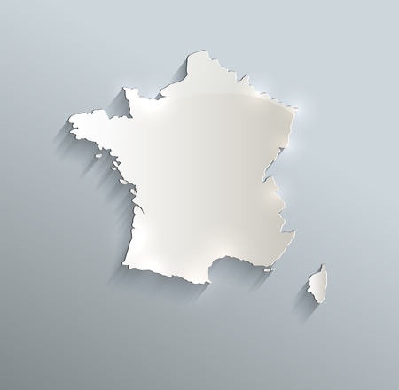
France vector country map silhouette
Коллекция по умолчанию
Коллекция по умолчанию
Создать новую

Map of Languedoc - Roussillon. France. 3d
Коллекция по умолчанию
Коллекция по умолчанию
Создать новую
Vector illustration of a 3D province map and flag from France
Коллекция по умолчанию
Коллекция по умолчанию
Создать новую
EU relief France map colors
Коллекция по умолчанию
Коллекция по умолчанию
Создать новую

Extended area of outlined France. Colored elevation map. 3D rendering
Коллекция по умолчанию
Коллекция по умолчанию
Создать новую
Legion-Media
Создайте свои проекты на основе качественных стоковых фотографий и видео.


Copyright © Legion-Media.