
United States, florida, Tampa . Coronavirus COVID-19 global cases Map. Red Dot showing the number of infected. Johns Hopkins University map on monitor display.
Коллекция по умолчанию
Коллекция по умолчанию
Создать новую
Image of a part of the United States map in blue.
Коллекция по умолчанию
Коллекция по умолчанию
Создать новую
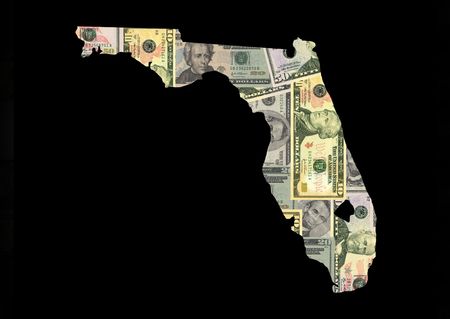
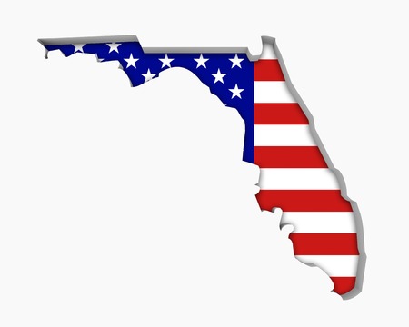
american dollar banknotes forming and the map of Florida State and white background
Коллекция по умолчанию
Коллекция по умолчанию
Создать новую
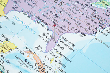
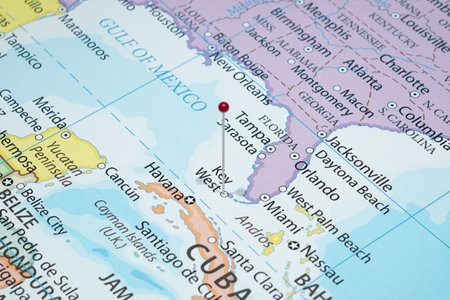
WOODBRIDGE, NEW JERSEY - July 13, 2020: A map of Florida is shown with a focus on the Orlando area and an orange push pin
Коллекция по умолчанию
Коллекция по умолчанию
Создать новую
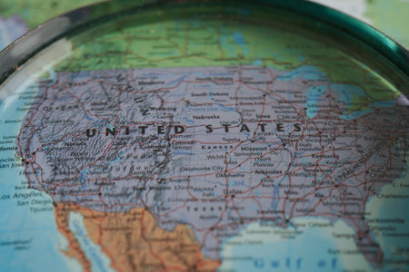
USA map part of a world globe
Коллекция по умолчанию
Коллекция по умолчанию
Создать новую
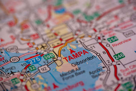
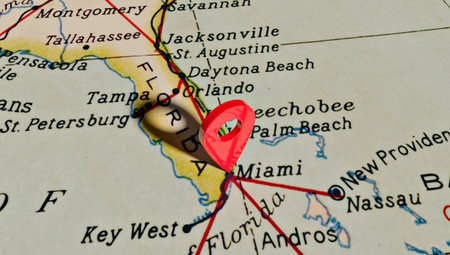
WOODBRIDGE, NEW JERSEY - July 13, 2020: A map of Florida is shown with a focus on Tampa.
Коллекция по умолчанию
Коллекция по умолчанию
Создать новую
October 7th, 2015 - Montreal, Canada. Old 1940s Webster's Dictionary United States of America Map Close-up
Коллекция по умолчанию
Коллекция по умолчанию
Создать новую
Florida state color map flat
Коллекция по умолчанию
Коллекция по умолчанию
Создать новую
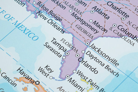
Macro photography of Florida state of United States of america political map with most important cities and borders
Коллекция по умолчанию
Коллекция по умолчанию
Создать новую
Location pin over the city of Miami on map of United States of America.
Коллекция по умолчанию
Коллекция по умолчанию
Создать новую

State of Florida on a map
Коллекция по умолчанию
Коллекция по умолчанию
Создать новую
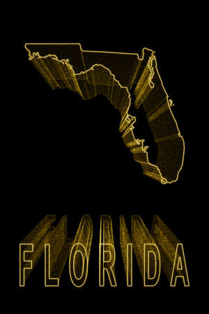
Map of Florida, Gold Map On Black Background, Gold effect
Коллекция по умолчанию
Коллекция по умолчанию
Создать новую
vector illustration of map of Florida - U.S. state
Коллекция по умолчанию
Коллекция по умолчанию
Создать новую
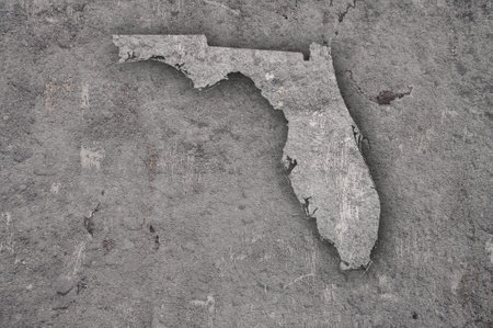
Map of Florida on weathered concrete
Коллекция по умолчанию
Коллекция по умолчанию
Создать новую
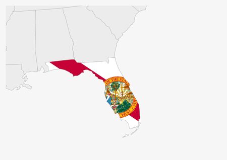
US state Florida map highlighted in Florida flag colors, gray map with neighboring usa states.
Коллекция по умолчанию
Коллекция по умолчанию
Создать новую
Close up to an Orlando city with a red pin needle into United States of America country political map
Коллекция по умолчанию
Коллекция по умолчанию
Создать новую

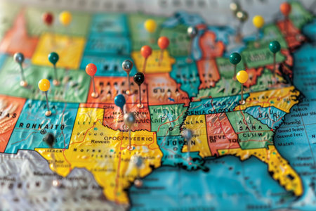
Detailed usa map pinpointing key election areas for analytical thorough review and in depth analysis
Коллекция по умолчанию
Коллекция по умолчанию
Создать новую
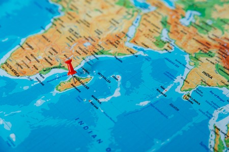
pins on the map close up point to madagascar . soft focus
Коллекция по умолчанию
Коллекция по умолчанию
Создать новую
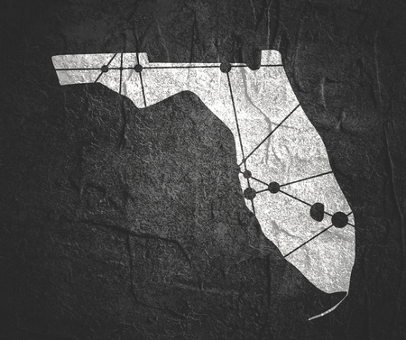
Image relative to USA travel. Florida state map textured by lines and dots pattern
Коллекция по умолчанию
Коллекция по умолчанию
Создать новую

drawing of american state of florida on chalkboard, drawn by chalk
Коллекция по умолчанию
Коллекция по умолчанию
Создать новую
WOODBRIDGE, NEW JERSEY - July 13, 2020: A map of Florida is shown with a focus on Miami, through a pair of eyeglasses
Коллекция по умолчанию
Коллекция по умолчанию
Создать новую
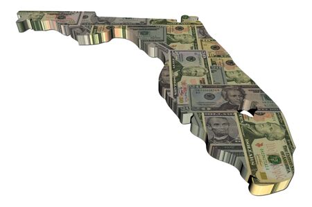
Florida map 3d render with dollars illustration
Коллекция по умолчанию
Коллекция по умолчанию
Создать новую
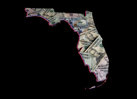
american dollar banknotes forming and the map of Florida State and black background
Коллекция по умолчанию
Коллекция по умолчанию
Создать новую
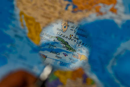
colorful view of cuba magnified with a magnifying glass, blurred background
Коллекция по умолчанию
Коллекция по умолчанию
Создать новую
Map of Florida
Коллекция по умолчанию
Коллекция по умолчанию
Создать новую
Detailed usa map pinpointing key election areas for analytical thorough review and in depth analysis
Коллекция по умолчанию
Коллекция по умолчанию
Создать новую
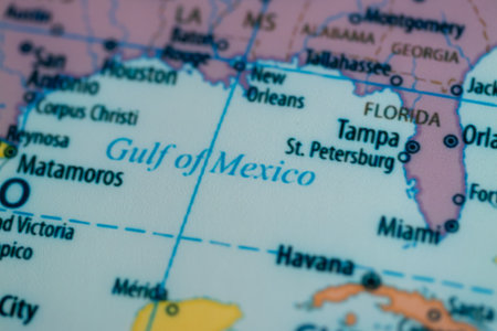
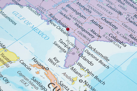
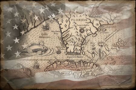
This map highlights the Gulf of Mexico showcasing coastline and major cities detail.
Коллекция по умолчанию
Коллекция по умолчанию
Создать новую
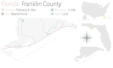
Large and detailed map of Franklin county in Florida, United States.
Коллекция по умолчанию
Коллекция по умолчанию
Создать новую
Set of Florida maps, united states of america. Flat concept icon vector illustration.
Коллекция по умолчанию
Коллекция по умолчанию
Создать новую
Map of Florida with American dollars bills illustration
Коллекция по умолчанию
Коллекция по умолчанию
Создать новую
Low Poly map of Florida state
Коллекция по умолчанию
Коллекция по умолчанию
Создать новую
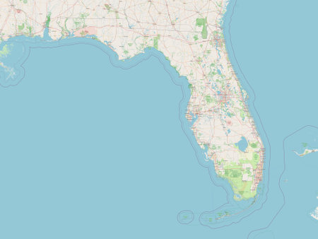
state of United States of America. Open Street Map
Коллекция по умолчанию
Коллекция по умолчанию
Создать новую
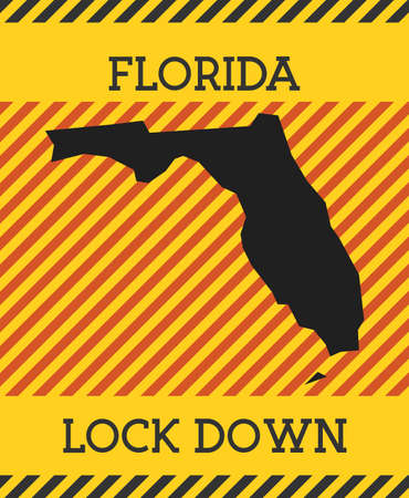
Florida Lock Down Sign. Yellow us state pandemic danger icon. Vector illustration.
Коллекция по умолчанию
Коллекция по умолчанию
Создать новую
Map of Florida
Коллекция по умолчанию
Коллекция по умолчанию
Создать новую
Close up to a Sarasota city with a red pin needle into United States of America country political map
Коллекция по умолчанию
Коллекция по умолчанию
Создать новую
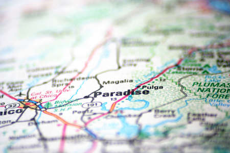
Paradise found
Коллекция по умолчанию
Коллекция по умолчанию
Создать новую
High Quality map state of United States. Florida
Коллекция по умолчанию
Коллекция по умолчанию
Создать новую
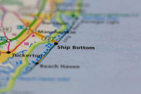
05-24-2021 Portsmouth, Hampshire, UK, Ship Bottom New Jersey USA shown on a Geography map or road map
Коллекция по умолчанию
Коллекция по умолчанию
Создать новую
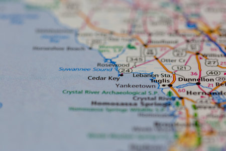
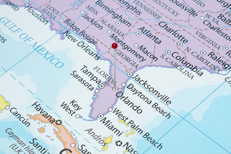
04-30-2021 Portsmouth, Hampshire, UK, Cedar Key Florida USA Shown on a geography map or road map
Коллекция по умолчанию
Коллекция по умолчанию
Создать новую
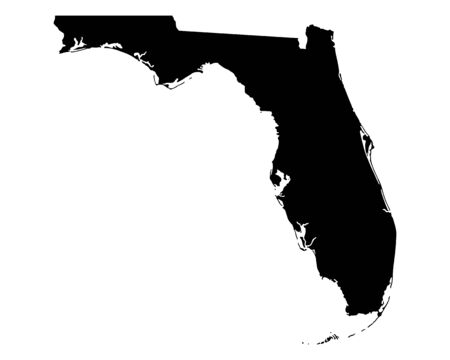
Florida, state of USA - solid black silhouette map of country area. Simple flat vector illustration.
Коллекция по умолчанию
Коллекция по умолчанию
Создать новую
US state map. Florida silhouette symbol. Vector illustration
Коллекция по умолчанию
Коллекция по умолчанию
Создать новую

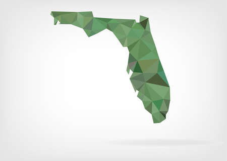
Florida state simple polygon map. Low poly trendy style vector map of Florida.
Коллекция по умолчанию
Коллекция по умолчанию
Создать новую
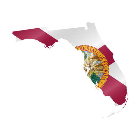
Detailed waving flag map of Florida. Vector map with masked flag.
Коллекция по умолчанию
Коллекция по умолчанию
Создать новую
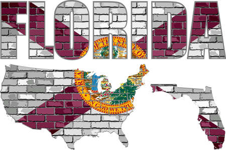
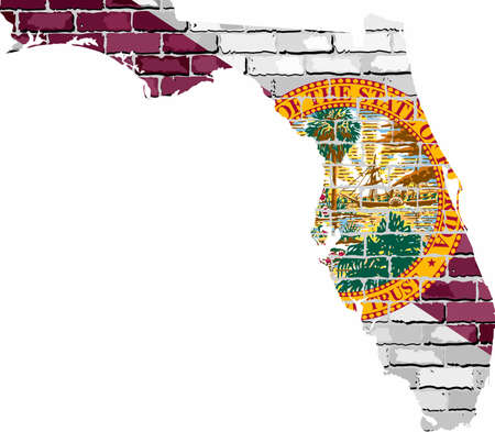
Florida on a brick wall - Illustration, Font with the Florida flag, Florida map on a brick wall
Коллекция по умолчанию
Коллекция по умолчанию
Создать новую
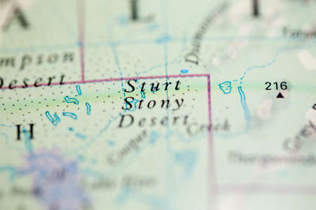
Shallow depth of field focus on geographical map location of Sturt Stony Desert Australia Oceania continent on atlas
Коллекция по умолчанию
Коллекция по умолчанию
Создать новую
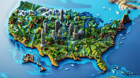
Concept of ecology and travel. Geography of USA. 3D rendering
Коллекция по умолчанию
Коллекция по умолчанию
Создать новую
vector illustration of map of Florida - U.S. state
Коллекция по умолчанию
Коллекция по умолчанию
Создать новую
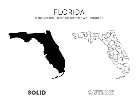
Florida map. Blank vector map of the Us State with counties. Borders of Florida for your infographic. Vector illustration.
Коллекция по умолчанию
Коллекция по умолчанию
Создать новую
Map of Florida
Коллекция по умолчанию
Коллекция по умолчанию
Создать новую
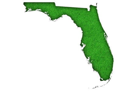
Map of Florida on green felt
Коллекция по умолчанию
Коллекция по умолчанию
Создать новую

United States, East Coast Washington. Coronavirus COVID-19 global cases Map. Red Dot showing the number of infected. Johns Hopkins University map on monitor display.
Коллекция по умолчанию
Коллекция по умолчанию
Создать новую
Close up to a Key West city with a red pin needle into United States of America country political map
Коллекция по умолчанию
Коллекция по умолчанию
Создать новую
Florida map on a brick wall - Illustration, The state of Florida map with flag inside
Коллекция по умолчанию
Коллекция по умолчанию
Создать новую
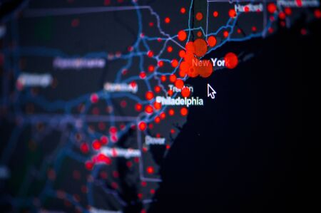
United States, East Coast, New York, . Coronavirus COVID-19 global cases Map. Red Dot showing the number of infected. Johns Hopkins University map on monitor display.
Коллекция по умолчанию
Коллекция по умолчанию
Создать новую
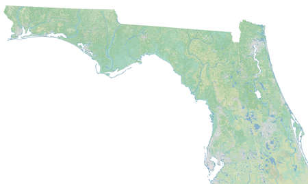
High resolution topographic map of northern Florida
Коллекция по умолчанию
Коллекция по умолчанию
Создать новую
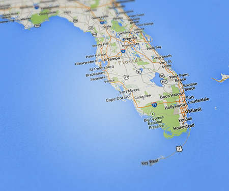
Florida Map
Коллекция по умолчанию
Коллекция по умолчанию
Создать новую

American thin blue line flag on map
Коллекция по умолчанию
Коллекция по умолчанию
Создать новую
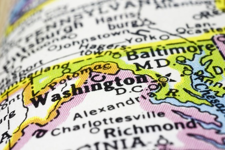
washington DC close up on map, shallow depth of field
Коллекция по умолчанию
Коллекция по умолчанию
Создать новую
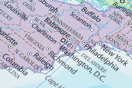
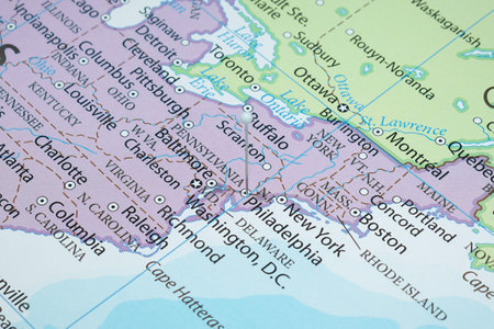
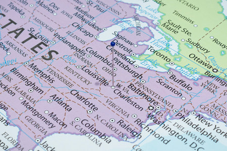
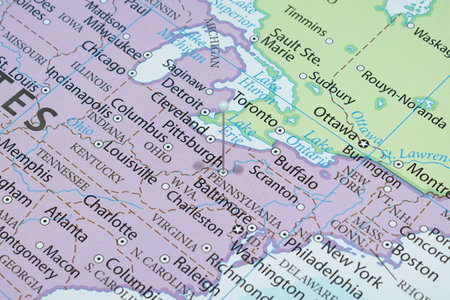
Macro photography of Washington DC city into political United States of America map with important cities
Коллекция по умолчанию
Коллекция по умолчанию
Создать новую

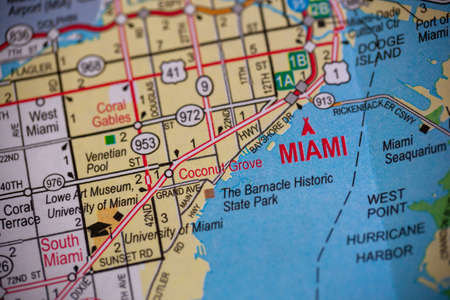
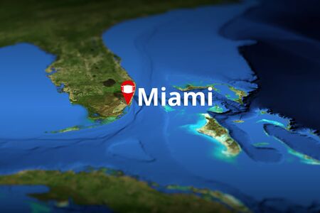
Focus on the city of Miami on a travel map
Коллекция по умолчанию
Коллекция по умолчанию
Создать новую
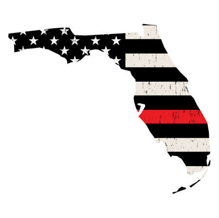
An American flag in the shape of the state of Florida firefighter support illustration.
Коллекция по умолчанию
Коллекция по умолчанию
Создать новую
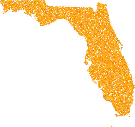
Golden mosaic Map of Florida State. Golden collage for map of Florida State. Vector mosaic of yellow shatter items. Mosaic map of Florida State designed with golden items. Yellow color tints are used.
Коллекция по умолчанию
Коллекция по умолчанию
Создать новую
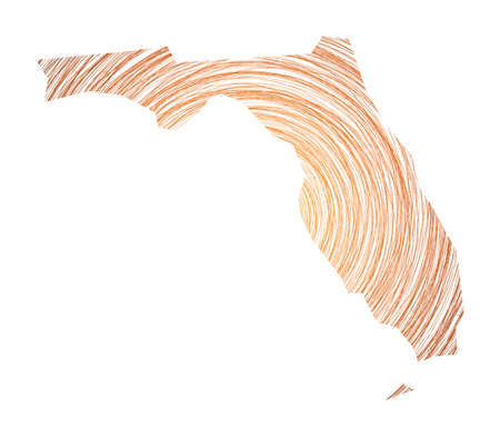
Florida map filled with concentric circles. Sketch style circles in shape of the us state. Vector Illustration.
Коллекция по умолчанию
Коллекция по умолчанию
Создать новую
Close up to a Philadelphia city with a white pin needle into United States of America country political map
Коллекция по умолчанию
Коллекция по умолчанию
Создать новую
Florida FL USA Flag Stars Stripes Map 3d Illustration
Коллекция по умолчанию
Коллекция по умолчанию
Создать новую
Close up to a Charleston city with a blue pin needle into United States of America country political map
Коллекция по умолчанию
Коллекция по умолчанию
Создать новую

Geographic map of North Carolina close.
Коллекция по умолчанию
Коллекция по умолчанию
Создать новую
Map of DC - Map is Copyright Free Off a Government Website - nationalatlas.gov
Коллекция по умолчанию
Коллекция по умолчанию
Создать новую
territory of Florida state isolated from other states of USA
Коллекция по умолчанию
Коллекция по умолчанию
Создать новую

usa close up on map, america country.
Коллекция по умолчанию
Коллекция по умолчанию
Создать новую
Close up to a Pittsburgh city with a white pin needle into United States of America country political map
Коллекция по умолчанию
Коллекция по умолчанию
Создать новую

New York marked in an atlas with a pushpin
Коллекция по умолчанию
Коллекция по умолчанию
Создать новую
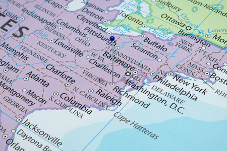
Close up to a Richmond city with a blue pin needle into United States of America country political map
Коллекция по умолчанию
Коллекция по умолчанию
Создать новую
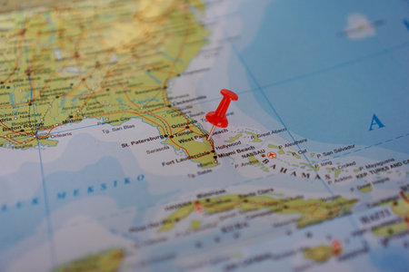
view map of West Palm Beach, Florida on a geographical map of United States, marked with red pushpin
Коллекция по умолчанию
Коллекция по умолчанию
Создать новую
Florida 2010
Коллекция по умолчанию
Коллекция по умолчанию
Создать новую

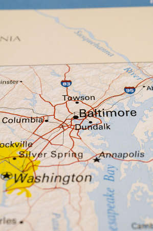
Maryland state map polygonal with spot lights places
Коллекция по умолчанию
Коллекция по умолчанию
Создать новую
Bangkok, Thailand - February 7, 2021; USA United of America flag on world map background.
Коллекция по умолчанию
Коллекция по умолчанию
Создать новую
27 of 50 states of the United States, divided into counties with territory nicknames, Detailed vector Florida Map with name and date admitted to the Union, travel poster and postcard
Коллекция по умолчанию
Коллекция по умолчанию
Создать новую

Florida state counties map with boundaries and names
Коллекция по умолчанию
Коллекция по умолчанию
Создать новую
Close-up view on the road map around the state of south carolina, USA, photo taken in Italy June 2020
Коллекция по умолчанию
Коллекция по умолчанию
Создать новую

shiny icon in form of Florida state, USA
Коллекция по умолчанию
Коллекция по умолчанию
Создать новую
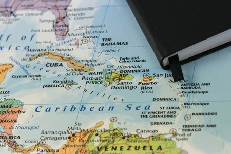
personal notes of someone planning a trip to the caribbean sea over a closeup map of Cuba, Haiti, Jamaica, Dominican, puertorico and the Bahamas
Коллекция по умолчанию
Коллекция по умолчанию
Создать новую

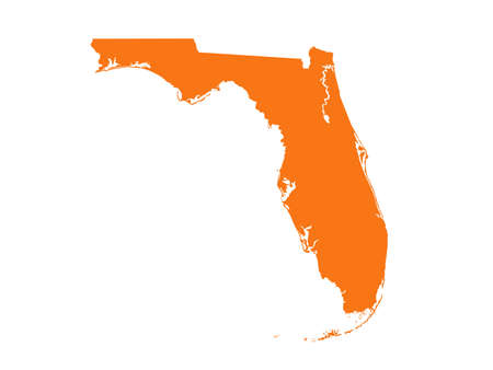
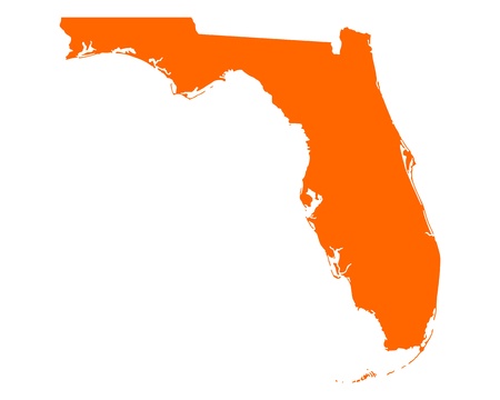
Outline silhouette map of the state of Florida isolated on a white background
Коллекция по умолчанию
Коллекция по умолчанию
Создать новую
Bangkok, Thailand - May 15, 2022 Magnifying glass on world map.
Коллекция по умолчанию
Коллекция по умолчанию
Создать новую
American Flag
Коллекция по умолчанию
Коллекция по умолчанию
Создать новую

Geographical map location of Mariana Trench off coast of Philippines Pacific Ocean on atlas
Коллекция по умолчанию
Коллекция по умолчанию
Создать новую
Map of Florida on weathered wood
Коллекция по умолчанию
Коллекция по умолчанию
Создать новую
Коллекция по умолчанию
Коллекция по умолчанию
Создать новую
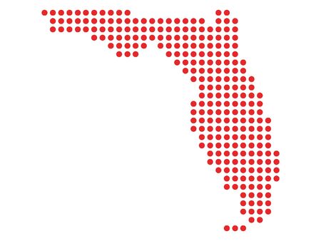
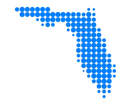
Red Dotted Pattern Map of Florida
Коллекция по умолчанию
Коллекция по умолчанию
Создать новую
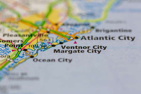
05-24-2021 Portsmouth, Hampshire, UK, Ventnor City New Jersey USA shown on a Geography map or road map
Коллекция по умолчанию
Коллекция по умолчанию
Создать новую
Macro Photography of Orlando city with a red pin needle into United States of America country political map
Коллекция по умолчанию
Коллекция по умолчанию
Создать новую
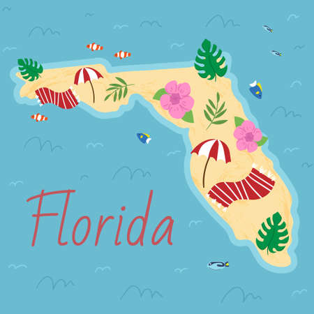
Simple border map of Florida - sothern state on USA. Some beach umbrellas and towels, fish, flowers, tropical leaves. Land with textured background and orange lettering
Коллекция по умолчанию
Коллекция по умолчанию
Создать новую
Sydney city on the map. 3d render illustration.
Коллекция по умолчанию
Коллекция по умолчанию
Создать новую
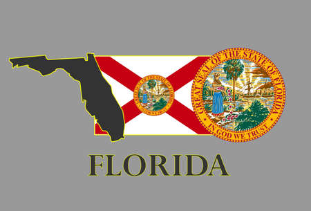
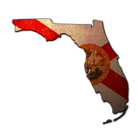
Florida state map, flag, seal and name.
Коллекция по умолчанию
Коллекция по умолчанию
Создать новую
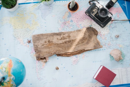
Still life on the political map of the world. The concept of travel.
Коллекция по умолчанию
Коллекция по умолчанию
Создать новую
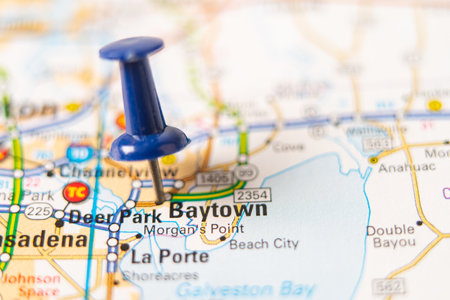
Bangkok, Thailand - January 20, 2022 Baytown, Texas road map with red pushpin, city in the United States of America USA.
Коллекция по умолчанию
Коллекция по умолчанию
Создать новую
Miami, United States city geotag with face mask on the map, COVID-19 coronavirus disease quarantine related 3D rendering
Коллекция по умолчанию
Коллекция по умолчанию
Создать новую

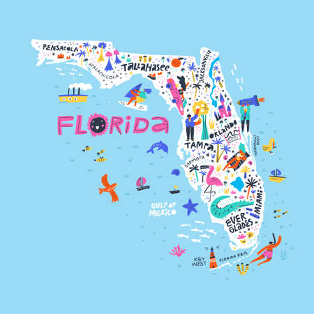
Regions of U.S. state Florida, multi colored map showing travel regions, subregions, cities, and major destinations. State in Southeastern United States with capital Tallahassee.
Коллекция по умолчанию
Коллекция по умолчанию
Создать новую
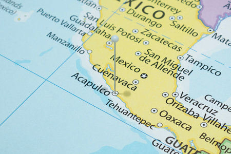
Close up to a Acapulco city with a white pin needle into Mexico country political map
Коллекция по умолчанию
Коллекция по умолчанию
Создать новую
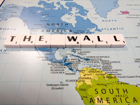
representation of The Wall between the United States of America and Mexico international border to stem illegal immigration across the border
Коллекция по умолчанию
Коллекция по умолчанию
Создать новую
Legion-Media
Создайте свои проекты на основе качественных стоковых фотографий и видео.


Copyright © Legion-Media.